- Usage in publication:
-
- Sag River Sandstone
- Modifications:
-
- Named
- Biostratigraphic dating
- Dominant lithology:
-
- Sandstone
- Siltstone
- AAPG geologic province:
-
- Alaska Northern region
Summary:
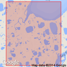
Defined as sandstone lying between Kingak Shale and Shublik Formation. Type section designated as interval in Sag River State No.1 well (sec.4 T10N R15E, U.P.M.), Prudhoe Bay oil field, North Slope AK [electric log not available yet]. Reference section is in Prudhoe Bay State No.1 well (sec.10 T11N R14E, U.P.M.) between 8163 and 8117 ft. Rocks previously informally called Oxytoma formation or sandstone by Basye (1969). Is uniform, well-sorted, fine-grained sandstone to siltstone of light greenish gray color. Overlies Triassic Shublik Formation; underlies Jurassic Kingak Shale. Contains poorly preserved pelecypods (OXYTOMA sp and MONOTIS cf OCHOTICA) near the base. Age is considered to be Late Triassic although it may range into Early Jurassic.
Source: GNU records (USGS DDS-6; Menlo GNULEX).

- Usage in publication:
-
- Sag River Formation
- Modifications:
-
- Redescribed
- Revised
- AAPG geologic province:
-
- Alaska Northern region
Summary:
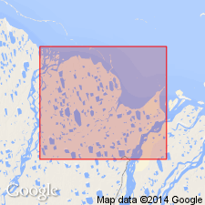
[Sag River Sandstone of Fackler and others, 1970, is here called Sag River Formation]. Described as glauconitic, dolomitic fine sandstones and siltstones overlying Shublik Formation. Underlies black shales of Jurassic age. Generalized stratigraphic column shows Sag River Formation (of 30 ft thickness) to be upper formation (of 3) of Prudhoe Bay Group (new).
Source: GNU records (USGS DDS-6; Menlo GNULEX).

- Usage in publication:
-
- Sag River Formation
- Modifications:
-
- Reference
- Revised
- Biostratigraphic dating
- AAPG geologic province:
-
- Alaska Northern region
Summary:
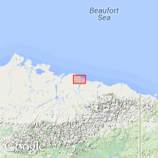
Unit was not completely cored in original type section or reference section designated in Sag River State No.1 or Prudhoe Bay State No.1 well. Reference section is proposed in BP 21-11-13 well in interval from 8591 to 8555 ft (sec.21 T11N R13E, U.P.M.), North Slope, where unit consists of lower sandstone member and upper shale member. Sandstone member is uniform, well-sorted, fine-grained sandstone to siltstone with variable amounts of glauconite in interval 8591 to 8560 ft. Shale member (in interval 8560 to 8555 ft) consists of medium and dark gray to black glauconitic and pyritic shales and mudstones. No direct paleontologic dating is available for shale member. Spores and bisaccate pollen species from unit in BP Put River No.1 well are typical of Late Triassic and Early Jurassic assemblages.
Source: GNU records (USGS DDS-6; Menlo GNULEX).
For more information, please contact Nancy Stamm, Geologic Names Committee Secretary.
Asterisk (*) indicates published by U.S. Geological Survey authors.
"No current usage" (†) implies that a name has been abandoned or has fallen into disuse. Former usage and, if known, replacement name given in parentheses ( ).
Slash (/) indicates name conflicts with nomenclatural guidelines (CSN, 1933; ACSN, 1961, 1970; NACSN, 1983, 2005, 2021). May be explained within brackets ([ ]).

