- Usage in publication:
-
- Saddlehorse gypsum lentil*
- Modifications:
-
- Named
- Dominant lithology:
-
- Gypsum
- AAPG geologic province:
-
- Amarillo arch
- Palo Duro basin
Summary:
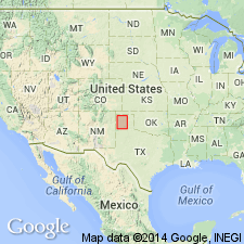
Named as a member of Quartermaster formation; named from Saddlehorse Creek, Potter Co, TX on the Amarillo arch. No type locality designated. Occurs in the valley of the Canadian River in the Panhandle of TX at 60 to 80 ft above the base of the Quartermaster formation. Consists of 1-3 ledges of massive white gypsum instratified with red shales. Total thickness rarely exceeds 10 ft. Separated from overlying Alibates dolomite lentil (new) of Quartermaster formation by 50-60 ft of red shale with white bands and ledges of soft sandstone. Geologic map; cross sections; measured sections. Permian rocks mapped as an undivided unit on Palo Duro Creek, Randall Co, TX in the Palo Duro basin and on the Canadian River in Potter and Moore Cos, TX on the Amarillo arch. Of Permian age.
Source: GNU records (USGS DDS-6; Denver GNULEX).
For more information, please contact Nancy Stamm, Geologic Names Committee Secretary.
Asterisk (*) indicates published by U.S. Geological Survey authors.
"No current usage" (†) implies that a name has been abandoned or has fallen into disuse. Former usage and, if known, replacement name given in parentheses ( ).
Slash (/) indicates name conflicts with nomenclatural guidelines (CSN, 1933; ACSN, 1961, 1970; NACSN, 1983, 2005, 2021). May be explained within brackets ([ ]).

