The National Geologic Map Database is migrating to a new infrastructure. We apologize for any service disruptions during this process.
|
|---|


- Usage in publication:
-
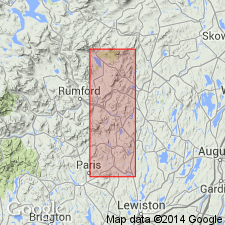
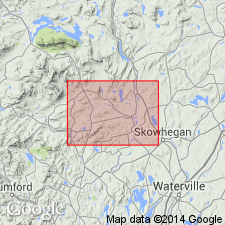
- Saddleback Mountain Formation
- Modifications:
-
- First used
- Dominant lithology:
-
- Sandstone
- AAPG geologic province:
-
- New England province
Summary:
Saddleback Mountain Formation listed in table 1 as an unpublished and unofficial stratigraphic name. No type locality or derivation of name given. Occurs Dixfield quad., where it forms bulk of major syncline. Most common rock is cyclically bedded pelite and sandstone. North from Dixfield quad., formation is traced across a fault and granodiorite pluton into Bear Hill Formation. To east and northeast of Dixfield quad., formation is sandwiched by Severy Hill Formation (new name) on southeast and Temple Stream Formation (new name) on northwest. This triple layer is traced as far as Kennebec River in center of Anson Formation. Assigned Devonian age based on its lithologic similarity to Seboomook Formation and similarity of Littleton trilogy.
Source: GNU records (USGS DDS-6; Reston GNULEX).
- Usage in publication:
-
- Saddleback Mountain†
- Modifications:
-
- Abandoned
- AAPG geologic province:
-
- New England province
Summary:
Saddleback Mountain Formation of Warner and Pankiwskyj (1965) is replaced by Mount Blue Member (new name) of Seboomook Formation.
Source: GNU records (USGS DDS-6; Reston GNULEX).
For more information, please contact Nancy Stamm, Geologic Names Committee Secretary.
Asterisk (*) indicates published by U.S. Geological Survey authors.
"No current usage" (†) implies that a name has been abandoned or has fallen into disuse. Former usage and, if known, replacement name given in parentheses ( ).
Slash (/) indicates name conflicts with nomenclatural guidelines (CSN, 1933; ACSN, 1961, 1970; NACSN, 1983, 2005, 2021). May be explained within brackets ([ ]).