- Usage in publication:
-
- Saddle Mountain Andesite
- Modifications:
-
- Original reference
- Dominant lithology:
-
- Andesite
- AAPG geologic province:
-
- Great Basin province
Summary:
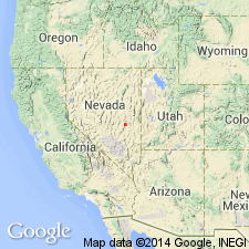
Pg. 275 (fig. 2). Saddle Mountain Andesite. Listed in generalized stratigraphic chart of Cenozoic section of Grant Range, Nye County, Nevada. Andesite, 0 to 250 feet thick. Age is Oligocene [based on stratigraphic relations].
Oligocene units are (ascending): Railroad Valley Rhyolite, Blind Spring Formation (new), Calloway Well Formation, Saddle Mountain Andesite (new), Stone Cabin Formation, local andesite flows, Currant Tuff, Windrous Butte Formation, Forest Home Ignimbrite (new), Needles Range Formation, and Shingle Pass Formation.
Source: US geologic names lexicon (USGS Bull. 1350, p. 652); GNU records (USGS DDS-6; Menlo GNULEX).
For more information, please contact Nancy Stamm, Geologic Names Committee Secretary.
Asterisk (*) indicates published by U.S. Geological Survey authors.
"No current usage" (†) implies that a name has been abandoned or has fallen into disuse. Former usage and, if known, replacement name given in parentheses ( ).
Slash (/) indicates name conflicts with nomenclatural guidelines (CSN, 1933; ACSN, 1961, 1970; NACSN, 1983, 2005, 2021). May be explained within brackets ([ ]).

