The National Geologic Map Database is migrating to a new infrastructure. We apologize for any service disruptions during this process.
|
|---|


- Usage in publication:
-
- Saddle Bayou lentil
- Modifications:
-
- Original reference
- Dominant lithology:
-
- Sand
- AAPG geologic province:
-
- Arkla basin
Summary:
Pg. 78 (fig. 6), 102-103. Saddle Bayou lentil of Verda member of Yazzo clay. Series of massive fossiliferous sands averaging 20 feet in thickness. Sands are medium-grained, well rounded, poorly indurated, and locally cemented by limonite. Lentil grades downward and interfingers laterally with typical Verda lignitic clays; grades laterally, eastward. Into a series of unnamed sandy shales. Fossils. Age is late Eocene (Jackson).
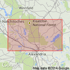
Exposed in cuts along a secondary road crossing a tributary of Saddle Bayou in the NW/4 sec. 20, T. 9 N., R. 2 W., Grant Parish, central LA. Best exposures in N/2 sec. 27, T. 9 N., R. 2 W.
Source: US geologic names lexicon (USGS Bull. 1200, p. 3376); supplemental information from GNU records (USGS DDS-6; Denver GNULEX).
For more information, please contact Nancy Stamm, Geologic Names Committee Secretary.
Asterisk (*) indicates published by U.S. Geological Survey authors.
"No current usage" (†) implies that a name has been abandoned or has fallen into disuse. Former usage and, if known, replacement name given in parentheses ( ).
Slash (/) indicates name conflicts with nomenclatural guidelines (CSN, 1933; ACSN, 1961, 1970; NACSN, 1983, 2005, 2021). May be explained within brackets ([ ]).