- Usage in publication:
-
- Rutland dolomite*
- Modifications:
-
- Named
- Dominant lithology:
-
- Dolomite
- Limestone
- AAPG geologic province:
-
- New England province
Summary:
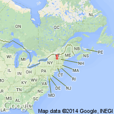
Named the Rutland dolomite for Rutland, Rutland Co., VT. Consists of generally gray dolomite with beds of dark bluish-gray dolomite in lower and upper parts of the formation. Also contains some scattered blue limestones at various horizons. The base contains interbeds of sandstone. Thickness is about 1000 feet. Unit overlies the Cheshire quartzite and underlies the Danby formation. Fossils contained in the formation indicate that the Rutland is of Early Cambrian age.
Source: GNU records (USGS DDS-6; Reston GNULEX).

- Usage in publication:
-
- Rutland dolomite
- Modifications:
-
- Areal extent
- AAPG geologic province:
-
- New England province
Summary:
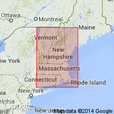
Rutland dolomite geographically extended into northwestern Massachusetts. Consists of fine- to medium-grained, light-gray to dove colored dolomite and fine- to medium-grained dark steel blue dolomite. Estimated thickness is 1000 feet. Age is Early Cambrian.
Source: GNU records (USGS DDS-6; Reston GNULEX).

- Usage in publication:
-
- Rutland Dolomite*
- Modifications:
-
- Areal extent
- AAPG geologic province:
-
- New England province
Summary:
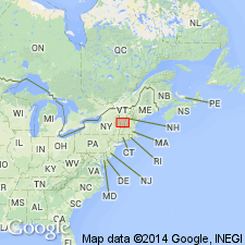
Stratigraphic succession in Middlebury synclinorium in north-central part of Glens Falls quad consists of (ascending) Late Proterozoic Dalton Formation and Pinnacle Formation, Lower Cambrian Cheshire Quartzite, Lower and Middle Cambrian dolomites (Rutland Dolomite, Dunham Dolomite as used by Cady (1945), Winooski Dolomite) with minor quartzite (Monkton Formation), and Upper Cambrian Danby Formation. Middlebury synclinorium is considered a parautochthonous shelf sequence.
Source: GNU records (USGS DDS-6; Reston GNULEX).
For more information, please contact Nancy Stamm, Geologic Names Committee Secretary.
Asterisk (*) indicates published by U.S. Geological Survey authors.
"No current usage" (†) implies that a name has been abandoned or has fallen into disuse. Former usage and, if known, replacement name given in parentheses ( ).
Slash (/) indicates name conflicts with nomenclatural guidelines (CSN, 1933; ACSN, 1961, 1970; NACSN, 1983, 2005, 2021). May be explained within brackets ([ ]).

