- Usage in publication:
-
- Rustler Canyon basalt
- Modifications:
-
- Named
- Dominant lithology:
-
- Basalt
- AAPG geologic province:
-
- Basin-and-Range province
Summary:
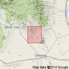
Named for Rustler Canyon in northwest part of quad., Grant Co., NM in the Basin-and-Range province. Mapped (geologic map) on west side of Box Canyon, secs. 6 and 7, T 19 S, R 10 W as a very thin unit between the older Box Canyon rhyolite (first used) and the younger informally named Piloncillo sediments. Maximum thickness is 50 ft. The basalt is black, vesicular, and finely crystalline; it contains sparse flakes of iddingsite; some vesicles are filled with opaline silica. Also mapped in secs. 20 and 21, T 18 S, R 11 W. Rustler Canyon consists of vesicular and amygdaloidal flows, flow breccias, and minor sandy tuffs lying between the Kneeling Nun tuff and the Caballo Blanco rhyolite (named). Thought to be more widespread south of Santa Rita, NM. Tertiary age assigned. Is part of the "Lower volcanic series."
Source: GNU records (USGS DDS-6; Denver GNULEX).
For more information, please contact Nancy Stamm, Geologic Names Committee Secretary.
Asterisk (*) indicates published by U.S. Geological Survey authors.
"No current usage" (†) implies that a name has been abandoned or has fallen into disuse. Former usage and, if known, replacement name given in parentheses ( ).
Slash (/) indicates name conflicts with nomenclatural guidelines (CSN, 1933; ACSN, 1961, 1970; NACSN, 1983, 2005, 2021). May be explained within brackets ([ ]).

