The National Geologic Map Database is migrating to a new infrastructure. We apologize for any service disruptions during this process.
|
|---|


- Usage in publication:
-
- Russell formation
- Modifications:
-
- Named
- Dominant lithology:
-
- Limestone
- Shale
- AAPG geologic province:
-
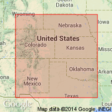
- Central Kansas uplift
- Salina basin
- Anadarko basin
Summary:
Named as lower formation of the Benton division of the Platte series (new); named from town of Russell, Russell Co, KS, Central Kansas uplift. No type locality designated. Outcrops in KS from valley of Crooked Creek in southern Gray Co, Anadarko basin, to that of Republican river in western part of Republic Co, Salina basin. Outcrops cross Republic-Little Blue divide and pass into NE. Consists of alternating limestones and bluish carbonaceous to light-gray calcareous shales. The limestones include Downs or Fencepost limestone. Formation also includes the GLOBIGERINA BULLOIDES, "Lincoln marble" and ammonites. Only thickness given is 6-12 inches for the Downs limestone. Underlies Victoria formation or clays (new) of Benton division of the Platte series (new). Fossil list. Of Late Cretaceous age.
Source: GNU records (USGS DDS-6; Denver GNULEX).
For more information, please contact Nancy Stamm, Geologic Names Committee Secretary.
Asterisk (*) indicates published by U.S. Geological Survey authors.
"No current usage" (†) implies that a name has been abandoned or has fallen into disuse. Former usage and, if known, replacement name given in parentheses ( ).
Slash (/) indicates name conflicts with nomenclatural guidelines (CSN, 1933; ACSN, 1961, 1970; NACSN, 1983, 2005, 2021). May be explained within brackets ([ ]).