The National Geologic Map Database is migrating to a new infrastructure. We apologize for any service disruptions during this process.
|
|---|


- Usage in publication:
-
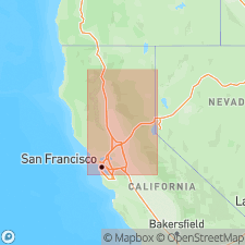
- Rumsey Formation
- Modifications:
-
- Named
- AAPG geologic province:
-
- Sacramento basin
Summary:
Unit is named the Rumsey Formation. Includes Guinda Sandstone Member in the basal part of the unit. Consists of massive to well-bedded, fine- and medium-grained gray concretionary sandstone and laminated gray siltstone and shale. Contains felsic plutonic detritus deposited in a deep-marine trough. Thickness at type is 915 m; ranges from 365 to 1220 m. Overlies the Cortina Formation; unconformably underlies Tertiary or Quaternary rocks. Age is Late Cretaceous. [Violates Article 13 (insufficient publication) of 1970 NASC] (B1564)
Source: GNU records (USGS DDS-6; Menlo GNULEX).
For more information, please contact Nancy Stamm, Geologic Names Committee Secretary.
Asterisk (*) indicates published by U.S. Geological Survey authors.
"No current usage" (†) implies that a name has been abandoned or has fallen into disuse. Former usage and, if known, replacement name given in parentheses ( ).
Slash (/) indicates name conflicts with nomenclatural guidelines (CSN, 1933; ACSN, 1961, 1970; NACSN, 1983, 2005, 2021). May be explained within brackets ([ ]).