

- Usage in publication:
-
- Rowland Formation
- Modifications:
-
- Named
- Dominant lithology:
-
- Gravel
- Sand
- Clay
- AAPG geologic province:
-
- Cascades province
Summary:
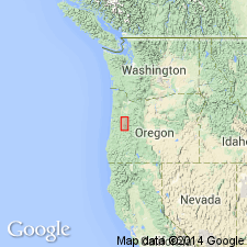
Type section designated on banks of Little Muddy Creek, NW/4 SW/4 sec.9 T15S R3W, Linn Co, OR. Divided into (ascending): Linn Member [formerly Linn Gravels of Allison, 1953] and Diamond Hill Member (new). Consists of gravel, clayey sand, and clay. Thickness ranges from 13 to 72 m. Unconformably underlies Willamette Formation [Silt]. Age given as late Pleistocene.
Source: GNU records (USGS DDS-6; Menlo GNULEX).
For more information, please contact Nancy Stamm, Geologic Names Committee Secretary.
Asterisk (*) indicates published by U.S. Geological Survey authors.
"No current usage" (†) implies that a name has been abandoned or has fallen into disuse. Former usage and, if known, replacement name given in parentheses ( ).
Slash (/) indicates name conflicts with nomenclatural guidelines (CSN, 1933; ACSN, 1961, 1970; NACSN, 1983, 2005, 2021). May be explained within brackets ([ ]).