- Usage in publication:
-
- Round Valley limestone
- Modifications:
-
- Named
- Dominant lithology:
-
- Limestone
- AAPG geologic province:
-
- Wasatch uplift
- Uinta uplift
Summary:
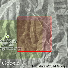
Named for Round Valley, 3 mi east of Morgan, Morgan Co., UT on the Wasatch uplift. [No type locality designated.] Mapped also on the Uinta uplift. Best exposures are about 1 mi north of U.S. Route 30-S on west side of Round Valley approximately in sec 20, T4N, R3E, in Morgan Co. Is a light gray, ledge forming, partly dolomitic and partly cherty, limestone. Is 395 ft thick on the west side of Round Valley. Ranges from 300 to 350 ft thick. Overlies Manning Canyon shale; underlies Morgan formation, and in eastern Uinta Mountains underlies Hell's Canyon formation. Assigned to the late Springer, Morrow, and Atoka, or to the Pennsylvanian. Is fossiliferous.
Source: GNU records (USGS DDS-6; Denver GNULEX).

- Usage in publication:
-
- Round Valley formation
- Modifications:
-
- Revised
- AAPG geologic province:
-
- Wasatch uplift
- Uinta uplift
- Uinta basin
- Green River basin
Summary:
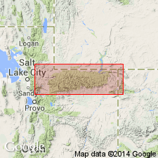
Revised in that Round Valley formation unconformably underlies the Hells Canyon formation which is assigned as the basal formation of the newly named Durst group. Durst is recognized from Morgan Co, UT on the Wasatch uplift east along the Uinta Mountains in Duchesne and Uintah Cos, UT in the Uinta basin, and on north flank of the mountains in Daggett Co, UT on the Uinta uplift, into Moffat Co, CO in the Greater Green River basin. [Round Valley is present in these areas.] Overlies Manning Canyon formation. Underlies Hells Canyon formation of Durst. Round Valley shown on correlation chart as of Springer and Morrow, Pennsylvanian age. Cross sections.
Source: GNU records (USGS DDS-6; Denver GNULEX).

- Usage in publication:
-
- Round Valley Limestone*
- Modifications:
-
- Overview
- AAPG geologic province:
-
- Green River basin
- Uinta basin
- Uinta uplift
- Wasatch uplift
Summary:
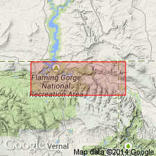
History of usage summarized. Was included in Morgan Formation in some earlier reports. Is resistant to erosion. Forms bold outcrops. The best exposed section is in Hideout Canyon in N1/2 sec 15, T2N, R20E, Uintah Co, UT in the Uinta basin where a section 261 ft thick was measured and described. Conformably overlies the Mississippian upper shale unit and conformably underlies the Morgan Formation at the measured section. Composed of gray, massive to thin-bedded limestone in beds, some of which are cherty and some are fossiliferous (brachiopods) in the section. Other fossils (bryozoans, echinoderms, mollusks) also found in Round Valley in report area. Geologic map. Isopach map shows its distribution in northwest CO and adjoining southwest WY in the Greater Green River basin, and in northeast UT, Uinta basin, Uinta uplift, and probably as far west as the Wasatch uplift. Deposited in a slowly subsiding offshore marine environment. Is of Early (Morrow) Pennsylvanian age.
Source: GNU records (USGS DDS-6; Denver GNULEX).
For more information, please contact Nancy Stamm, Geologic Names Committee Secretary.
Asterisk (*) indicates published by U.S. Geological Survey authors.
"No current usage" (†) implies that a name has been abandoned or has fallen into disuse. Former usage and, if known, replacement name given in parentheses ( ).
Slash (/) indicates name conflicts with nomenclatural guidelines (CSN, 1933; ACSN, 1961, 1970; NACSN, 1983, 2005, 2021). May be explained within brackets ([ ]).

