- Usage in publication:
-
- Rosamond series
- Modifications:
-
- Named
- Dominant lithology:
-
- Rhyolite
- Sandstone
- Tuff
- AAPG geologic province:
-
- Mojave basin
Summary:
Rosamond series. A rhyolite series, 1,650 feet thick, consisting of interbedded sandstone and rhyolite tuff with one massive bed of dark-red lava (apparently rhyolite). Unconformably underlies Barstow series. [Age is Tertiary (Miocene?).]
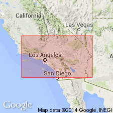
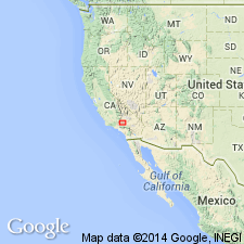
Type section: near Rosamond Station, [located in NW/4 sec. 21, T. 9 N., R. 12 W., Rosamond 7.5-min quadrangle], Kern Co., southeastern CA.
Source: US geologic names lexicon (USGS Bull. 896, p. 1843).

- Usage in publication:
-
- Rosamond series
- Modifications:
-
- Mapped
- Dominant lithology:
-
- Rhyolite
- AAPG geologic province:
-
- Los Angeles basin
Summary:
[Pl. 1, map. On legend of map Rosamond series appears between Cretaceous shales below and Escondido series above, and is mapped to north of Rosamond, Kern County, southeastern California.]
Source: US geologic names lexicon (USGS Bull. 896, p. 1843).

- Usage in publication:
-
- Rosamond series†
- Modifications:
-
- Abandoned
- AAPG geologic province:
-
- Mojave basin
Summary:
Since Hershey's (1912) Rosamond series has been applied by later workers to Tertiary stratified rocks exposed in widely separated areas in Mojave Desert as far north as Ricardo and east as Newberry with different ages from Paleocene to Pliocene, name "Rosamond series" is abandoned. The sequence of nonmarine sedimentary, pyroclastic and volcanic rocks exposed in Rosamond Hills together with probable correlative rocks of Tertiary age in vicinities of Kramer borate area and in Kramer Hills are here named Tropico group.
Source: GNU records (USGS DDS-6; Menlo GNULEX).
For more information, please contact Nancy Stamm, Geologic Names Committee Secretary.
Asterisk (*) indicates published by U.S. Geological Survey authors.
"No current usage" (†) implies that a name has been abandoned or has fallen into disuse. Former usage and, if known, replacement name given in parentheses ( ).
Slash (/) indicates name conflicts with nomenclatural guidelines (CSN, 1933; ACSN, 1961, 1970; NACSN, 1983, 2005, 2021). May be explained within brackets ([ ]).

