- Usage in publication:
-
- Rome till
- Modifications:
-
- First used
- Dominant lithology:
-
- Till
- AAPG geologic province:
-
- Adirondack uplift
Summary:
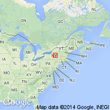
Red till, here named the Rome till, records the last readvance (Stanwix Readvance) of the Oneida Sublobe. Unit is present in a few places in the South Trenton quad and westward along the south margin of the Ontario Lake plain in the lower West Canada and Mohawk Valleys of eastern NY. Deposited over Holland Patent till (Antonetti, 1982 M.S. thesis) during the Port Huron stade.
Source: GNU records (USGS DDS-6; Reston GNULEX).
For more information, please contact Nancy Stamm, Geologic Names Committee Secretary.
Asterisk (*) indicates published by U.S. Geological Survey authors.
"No current usage" (†) implies that a name has been abandoned or has fallen into disuse. Former usage and, if known, replacement name given in parentheses ( ).
Slash (/) indicates name conflicts with nomenclatural guidelines (CSN, 1933; ACSN, 1961, 1970; NACSN, 1983, 2005, 2021). May be explained within brackets ([ ]).

