- Usage in publication:
-
- Roger Park basaltic breccia*
- Modifications:
-
- First used
- Dominant lithology:
-
- Breccia
- AAPG geologic province:
-
- Wasatch uplift
Summary:
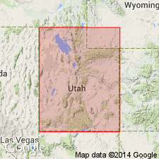
Intent to name and derivation of place name not stated. No type locality designated. Recognized in a small area in the southern part of the Marysvale region, Wasatch uplift, UT. Contains gray or red breccias. Flows near top have basaltic appearance. May be as much as 2,000 ft thick in report area. Overlies Bullion Canyon volcanics (new); underlies Dry Hollow latite. Shown as later Tertiary on geologic map.
Source: GNU records (USGS DDS-6; Denver GNULEX).
For more information, please contact Nancy Stamm, Geologic Names Committee Secretary.
Asterisk (*) indicates published by U.S. Geological Survey authors.
"No current usage" (†) implies that a name has been abandoned or has fallen into disuse. Former usage and, if known, replacement name given in parentheses ( ).
Slash (/) indicates name conflicts with nomenclatural guidelines (CSN, 1933; ACSN, 1961, 1970; NACSN, 1983, 2005, 2021). May be explained within brackets ([ ]).

