- Usage in publication:
-
- Rod Club sandy member
- Modifications:
-
- Named
- Dominant lithology:
-
- Sandstone
- AAPG geologic province:
-
- South Oklahoma folded belt
Summary:
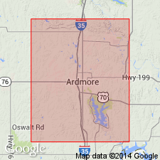
Named as basal member of the Springer formation in Ardmore basin of southern Oklahoma, S. Oklahoma folded belt province. Name derived from semicircular outcrops at smaller Rod and Gun Club lake in the NW1/4 sec 7, T4S, R2E, Carter Co, OK. No type locality given. Is a sandy zone containing four or more ledges, each from 2-25 ft thick, of rather hard greenish to buff, fine- to medium-grained sandstone, and the oldest Carboniferous sandstone in the area. Total thickness varies from 250 to 400 ft. Forms the inner rim or topographic ridge encircling the Caddo anticline. Lies about 1,000 ft below Overbrook sandstone member (new) of the Springer formation. Underlies unnamed black shales of Springer. Overlies the Caney shale. At the top of the Rod Club in NE1/4 sec 12, T4S, R1E, a few plant impressions (CALAMITES) have been found. Geologic map; columnar section. Of Pennsylvanian age.
Source: GNU records (USGS DDS-6; Denver GNULEX).
For more information, please contact Nancy Stamm, Geologic Names Committee Secretary.
Asterisk (*) indicates published by U.S. Geological Survey authors.
"No current usage" (†) implies that a name has been abandoned or has fallen into disuse. Former usage and, if known, replacement name given in parentheses ( ).
Slash (/) indicates name conflicts with nomenclatural guidelines (CSN, 1933; ACSN, 1961, 1970; NACSN, 1983, 2005, 2021). May be explained within brackets ([ ]).

