The National Geologic Map Database is migrating to a new infrastructure. We apologize for any service disruptions during this process.
|
|---|


- Usage in publication:
-
- Rockyford ash [unranked]
- Modifications:
-
- Principal reference
- Dominant lithology:
-
- Ash
- AAPG geologic province:
-
- Chadron arch
Summary:
Rockyford ash [unranked] in Sharps formation of Arikaree group. A volcanic ash bed at base of Sharps formation (new). Consists of white, buff, tan, and red-brown layers with varying amount of silt. Poorly consolidated. Well compacted. Thickness up to 38 feet. Not specifically identified in two measured sections. Shown on columnar diagram above Brule formation and below unnamed part of Sharps formation. Age is Miocene.
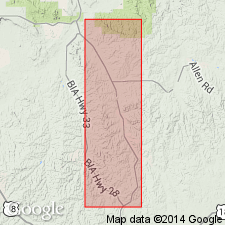
Type section: Sheep Mountain Table, in SE/4 NE/4 NE/4 sec. 32, T. 43 .N, R. 44 W., Shannon Co., SD. Named from town of Rockyford 10 mi southeast of type section.
Source: GNU records (USGS DDS-6; Denver GNULEX).
- Usage in publication:
-
- Rockyford Member
- Modifications:
-
- Revised
- Dominant lithology:
-
- Ash
- AAPG geologic province:
-
- Chadron arch
- Sioux uplift
Summary:
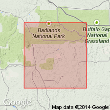
Assigned as the basal member (formerly an unranked term) of Sharps Formation [of Arikaree Group] for town of Rockyford, Shannon Co, SD. Type section designated in SE1/4 NE1/4 NE1/4 sec 32, T43N, R44W, on south end of Sheep Mountain Table. Shown as present also in Pennington Co, Williston basin and Washabaugh and Jackson Cos, Sioux uplift (map). Is a white volcanic ash that has been assigned to the Sharps, Monroe Creek, Harrison, and Rosebud Formations by various authors. Is widely, but discontinuously, exposed in White River Badlands, capping many of the higher buttes. Overlies Brule Formation; underlies upper part of Sharps. Ranges from 2 ft to 55 ft thick. A prominent feature of the ash are small pipe concretions, oriented vertically that range from pencil to thumb size, and most are less than 3-4 in long. Ash also contains many clastic dikes composed of same material as host rock thought by writers to have developed in cracks resulting from compaction of underlying Tertiary sediments on the eroded Cretaceous foundation. However other theories could explain dike formation. Ash may have been derived from Yellowstone. Miocene age.
Source: GNU records (USGS DDS-6; Denver GNULEX).
For more information, please contact Nancy Stamm, Geologic Names Committee Secretary.
Asterisk (*) indicates published by U.S. Geological Survey authors.
"No current usage" (†) implies that a name has been abandoned or has fallen into disuse. Former usage and, if known, replacement name given in parentheses ( ).
Slash (/) indicates name conflicts with nomenclatural guidelines (CSN, 1933; ACSN, 1961, 1970; NACSN, 1983, 2005, 2021). May be explained within brackets ([ ]).