

- Usage in publication:
-
- Rocky Point Member
- Modifications:
-
- Original reference
- Dominant lithology:
-
- Sandstone
- Limestone
Summary:
Pg. 1751-1757. Rocky Point Member of Peedee Formation. Alternating biosparrudite and quartz arenite. Thickness 10 m at type. Unconformably underlies Castle Hayne Formation. Recognized in North Carolina and South Carolina. Age is Late Cretaceous.
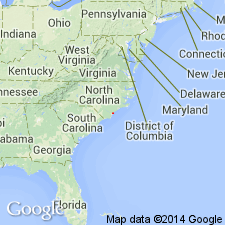
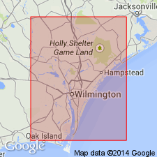
Type locality: Superior Stone Comapany quarry, 5.6 km northeast of Castle Hayne, New Hanover Co., southeastern NC. Named from town of Rocky Point, 11 km west-northwest of type locality.
Source: US geologic names lexicon (USGS Bull. 1520, p. 264).
- Usage in publication:
-
- Rocky Point Member
- Modifications:
-
- Geochronologic dating
- AAPG geologic province:
-
- Atlantic Coast basin
Summary:
Age is Late Cretaceous based on glauconite pellets according to Harris and Bottino (1974). Rb-Sr yields an average of 67.6 Ma.
Source: GNU records (USGS DDS-6; Reston GNULEX).
- Usage in publication:
-
- Rocky Point†
- Modifications:
-
- Abandoned
- AAPG geologic province:
-
- Atlantic Coast basin
Summary:
Scotts Hill named as a member of the Peedee Formation. Strata formerly called Rocky Point Member of the Peedee by Wheeler and Curran (1974). Name changed from Rocky Point Member to Scotts Hill Member because name Rocky Point preempted by the Cretaceous unit in Oregon and numerous other units of different ages and localities.
Source: GNU records (USGS DDS-6; Reston GNULEX).
- Usage in publication:
-
- Rocky Point Member
- Modifications:
-
- Overview
- AAPG geologic province:
-
- Atlantic Coast basin
Summary:
Name Rocky Point Member of Peedee Formation, rather than Scotts Hill Member of Ward and Blackwelder (1979), used in this report as it is well established in the literature.
Source: GNU records (USGS DDS-6; Reston GNULEX).
For more information, please contact Nancy Stamm, Geologic Names Committee Secretary.
Asterisk (*) indicates published by U.S. Geological Survey authors.
"No current usage" (†) implies that a name has been abandoned or has fallen into disuse. Former usage and, if known, replacement name given in parentheses ( ).
Slash (/) indicates name conflicts with nomenclatural guidelines (CSN, 1933; ACSN, 1961, 1970; NACSN, 1983, 2005, 2021). May be explained within brackets ([ ]).