

- Usage in publication:
-
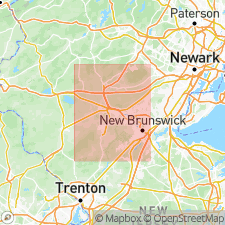
- Rocky Hill diabase
- Modifications:
-
- Overview
- AAPG geologic province:
-
- Piedmont-Blue Ridge province
Summary:
Rocky Hill diabase is a sheet-like structure of Early Jurassic age (200 Ma) that intrudes the Late Triassic Passaic and Lockatong Formations. The diabase has altered the enclosing argillites and silty mudstone into tough hornfels. Unit may be a southwest extension of the Palisades sill, which outcrops approximately 30 km to the northeast according to Husch and others (1988). Unit was first discussed by Olsen (1980: Bull. NJ Acad. Sci, v. 23-25, no. 25, p. 25-51.)
Source: GNU records (USGS DDS-6; Reston GNULEX).
For more information, please contact Nancy Stamm, Geologic Names Committee Secretary.
Asterisk (*) indicates published by U.S. Geological Survey authors.
"No current usage" (†) implies that a name has been abandoned or has fallen into disuse. Former usage and, if known, replacement name given in parentheses ( ).
Slash (/) indicates name conflicts with nomenclatural guidelines (CSN, 1933; ACSN, 1961, 1970; NACSN, 1983, 2005, 2021). May be explained within brackets ([ ]).