

- Usage in publication:
-
- Rockford goniatite bed
- Modifications:
-
- Named
- Dominant lithology:
-
- Limestone
- AAPG geologic province:
-
- Illinois basin
Summary:
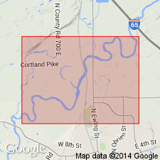
Rockford Goniatite bed named. "It is mottled brownish and ash-colored argillaceous limestone ***." Not more than 2 ft thick.
Source: GNU records (USGS DDS-6; Reston GNULEX).
- Usage in publication:
-
- Rockford limestone
- Modifications:
-
- Revised
- AAPG geologic province:
-
- Illinois basin
Summary:
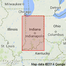
Designated Rockford limestone. "Thin bed of limestone from three to six feet thick which separates the Black shale from the New Providence shale. The formation is persistent throughout southern Indiana and is known to extend as far north as Columbus [Indiana].
Source: GNU records (USGS DDS-6; Reston GNULEX).
- Usage in publication:
-
- Rockford Limestone
- Modifications:
-
- Overview
- AAPG geologic province:
-
- Illinois basin
Summary:
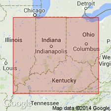
Designated Rockford Limestone. "Limestone dominates the lithology of the formation, but shale, siltstone, and dolomite may by present. The limestone is typically gray, fine grained, argillaceous, ferruginous, and sparingly fossiliferous. It has a characteristic green mottling and weathers to a rusty brown * * * Crinoidal debris and other fossils, such as the cephalopods, may be concentrated in places. To the north thin gray-green shales are interlaminated with the limestone * * * In southern Indiana thickness is commonly 2 or 3 feet , and maximum thickness is more than 4 feet. The greatest thickness is about 22 feet in the northern area [northern Indiana]." Underlain by New Albany Shale with apparent conformity. Overlain unconformably by New Providence Shale in southern Indiana but conformably in northern Indiana.
Source: GNU records (USGS DDS-6; Reston GNULEX).
- Usage in publication:
-
- Rockford Limestone*
- Modifications:
-
- Areal extent
- AAPG geologic province:
-
- Illinois basin
Summary:
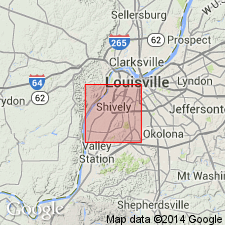
Rockford Limestone extended into Jefferson Co., Kentucky, from southern Indiana. Rockford is "Dolomite, calcareous, silty, ferruginous, yellowish-gray to light-gray * * * contains crinoid plates." Observed thickness 0 to 2 ft. Observed only in 2 artificial exposures. Underlain by New Albany Shale; overlain by New Providence Shale Member of Borden Formation.
Source: GNU records (USGS DDS-6; Reston GNULEX).
For more information, please contact Nancy Stamm, Geologic Names Committee Secretary.
Asterisk (*) indicates published by U.S. Geological Survey authors.
"No current usage" (†) implies that a name has been abandoned or has fallen into disuse. Former usage and, if known, replacement name given in parentheses ( ).
Slash (/) indicates name conflicts with nomenclatural guidelines (CSN, 1933; ACSN, 1961, 1970; NACSN, 1983, 2005, 2021). May be explained within brackets ([ ]).