

- Usage in publication:
-
- Rock Canyon conglomeratic member*
- Modifications:
-
- Original reference
- Dominant lithology:
-
- Conglomerate
- Shale
- Gypsum
- AAPG geologic province:
-
- Great Basin province
Summary:
Pg. 90-92. Rock Canyon conglomeratic member of Moenkopi formation. Irregular complex of limestone, limestone and chert conglomerate, shale, and gypsum. Thickness 0 to 170 feet. [0 to 288 feet in USGS Prof. Paper 129-D, p. 55, 1922]. Basal member of Moenkopi formation in this region. Lies 360 feet below Virgin limestone member of Moenkopi. Rests unconformably on Kaibab limestone. Age is Early Triassic.
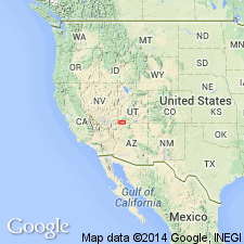
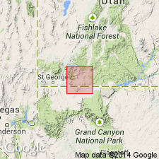
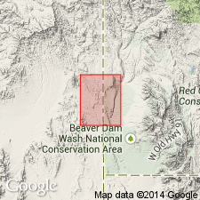
Named from Rock Canyon, 5 mi north of Antelope Spring, Mohave Co., northwestern AZ. Extends into Washington Co., southwestern UT.
Source: US geologic names lexicon (USGS Bull. 896, p. 1826).
- Usage in publication:
-
- Rock Canyon conglomeratic member†
- Modifications:
-
- Abandoned
- AAPG geologic province:
-
- Great Basin province
Summary:
Pg. 54. †Rock Canyon conglomeratic member of Moenkopi formation. Abandoned as stratigraphic term. Rock Canyon conglomerate at its type locality is substantially equivalent to Harrisburg gypsiferous member of Kaibab.
Source: US geologic names lexicon (USGS Bull. 1200, p. 3305).

- Usage in publication:
-
- Rock Canyon Conglomerate Member*
- Modifications:
-
- Areal extent
- AAPG geologic province:
-
- Great Basin province
Summary:
Is the basal member of the Moenkopi Formation unconformably above the Harrisburg Member of the Kaibab Formation. Mapped with the overlying lower red member of Moenkopi in east-central Lincoln Co., NV in the Great Basin province. Fills channels in the upper Kaibab surface. Consists of angular chert in a limy matrix. Is 0-10 m thick. The chert was derived from the underlying Kaibab. Considered to be an excellent regional marker bed. Of Early Triassic age.
Source: GNU records (USGS DDS-6; Denver GNULEX).
- Usage in publication:
-
- Rock Canyon Conglomerate Member*
- Modifications:
-
- Mapped
- AAPG geologic province:
-
- Great Basin province
Summary:
Mapped as lowermost of five members of Moenkopi Formation. Exposed in northeast corner of quad, Washington Co, UT at northern flank of Scarecrow Peak where unit fills a local paleovalley cut into Fossil Mountain Member of Kaibab Formation; also exposed in northwest corner of quad, Lincoln Co, NV, Great Basin province. Consists of gray mostly coarse, subangular siliceous sand with lenses of coarse bouldery conglomerate. Thickness ranges up to 15 m. Unconformably overlies Harrisburg Member of Kaibab Formation; younger than lower red member of Moenkopi. Early Triassic age.
Source: GNU records (USGS DDS-6; Denver GNULEX).
For more information, please contact Nancy Stamm, Geologic Names Committee Secretary.
Asterisk (*) indicates published by U.S. Geological Survey authors.
"No current usage" (†) implies that a name has been abandoned or has fallen into disuse. Former usage and, if known, replacement name given in parentheses ( ).
Slash (/) indicates name conflicts with nomenclatural guidelines (CSN, 1933; ACSN, 1961, 1970; NACSN, 1983, 2005, 2021). May be explained within brackets ([ ]).