- Usage in publication:
-
- Robinson quartzite*
- Modifications:
-
- First used
- Dominant lithology:
-
- Quartzite
- Slate
- AAPG geologic province:
-
- Wasatch uplift
Summary:
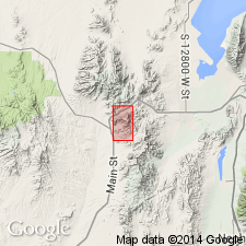
First published use as a map unit composed of white, fine-grained, compact quartzite with occasional beds of fine quartz conglomerate and beds of greenish, yellowish, and reddish clay slate near top and several near base. At least 7,000 ft of Robinson exposed. Lower contact covered. Upper contact is with Eureka limestone (first used). Quartzite is divided into narrow parallel sheets. Source of name [probably town of Robinson, Juab Co, UT], intent to name, and type locality not stated. Occurs in four separated areas along west side of quad, Ts10 and 11S, R3W, Juab Co, UT on the Wasatch uplift. Of Cambrian age. Geologic map.
Source: GNU records (USGS DDS-6; Denver GNULEX).
For more information, please contact Nancy Stamm, Geologic Names Committee Secretary.
Asterisk (*) indicates published by U.S. Geological Survey authors.
"No current usage" (†) implies that a name has been abandoned or has fallen into disuse. Former usage and, if known, replacement name given in parentheses ( ).
Slash (/) indicates name conflicts with nomenclatural guidelines (CSN, 1933; ACSN, 1961, 1970; NACSN, 1983, 2005, 2021). May be explained within brackets ([ ]).

