- Usage in publication:
-
- Robein Silt
- Modifications:
-
- Original reference
- Dominant lithology:
-
- Silt
- AAPG geologic province:
-
- Illinois basin
Summary:
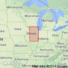
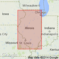
Pg. 64-65; Illinois Bull., no. 95, p. 227, 1975. Robein Silt. Brown, gray, dark gray to black silt a few inches to 5+ feet thick. Contains abundant organic material. Rests on Roxana Silt, Peddicord Formation, or Winnebago Formation. Underlies Peoria Loess, Morton Loess, or Wedron Formation. Is part of Farmdale Soil; previously called Farmdale Silt (Frye and Willman, 1960). Is a discontinuous but widely distributed unit in Illinois. Age is Pleistocene (Wisconsinan Age; Farmdalian Subage).
Type section: Farm Creek section, along south side of Farm Creek, 1.3 mi (2 km) south of Sunnyland, in NE/4 SW/4 SE/4 sec. 30, T. 26 N., R. 3 W., Tazewell Co., north-central IL. Named from village of Robein, Tazewell Co., north-central IL.
Source: Publication; Hdbk Illinois stratigraphy (Illinois Geol. Survey Bull. 95, p. 227); US geologic names lexicon (USGS Bull. 1520, p. 262).

- Usage in publication:
-
- Robein Silt
- Modifications:
-
- Overview
- AAPG geologic province:
-
- Illinois basin
Summary:
Although not a regionally continuous unit, locally aids in differentiating gray to yellow-brown Peoria Loess above from the reddish-gray Roxana Silt below. Robein consists of stratified, leached, organic-rich silt loam. Appears to be reworked Roxana Silt. Contains O, A, and Bg horizons of the Farmdale Geosol. Type section designated by Willman and Frye (1970) is not typical of the unit. An appropriate paratype section at Athens Quarry was described by Follmer and McKay (1987: GSA Centennial Field Guide, vol. 3, p. 231-236).
Source: GNU records (USGS DDS-6; Reston GNULEX).

- Usage in publication:
-
- Robein Member*
- Modifications:
-
- Principal reference
- Revised
- AAPG geologic province:
-
- Illinois basin
Summary:
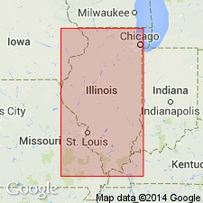
Pg. 15-18, 27 (fig. 12), 30 (fig. 14), 52-55, 74, 81+, 92-96, 102+. Robein Member of Roxana Silt of Mason Group. A distinctive, discontinuous marker unit recognized in subsurface of Illinois. Consists of brown to black, noncalcareous, stratified to massive silt, sandy silt, and humic material; locally, the uppermost layer is peat or muck (O horizon of Farmdale Geosol). Thickness commonly less than 6.6 feet (2 m); may be 13+ feet (4+ m) in places. In northeastern Illinois, underlies Tiskilwa Formation of Wedron Group, or Peoria Silt, Henry or Equality Formations of Mason Group. In central, western, and southern Illinois, occurs beneath Peoria Silt. Overlies other members of Roxana, Glasford Formation, or other Illinoian or older units. Age is Pleistocene (Wisconsinan Age; Altonian Subage), based on radiocarbon dating.
Principal reference sections:
(1) Athens north quarry section, in north highwall of limestone quarry, 5 mi (8 km) northeast of Athens, in SW/4 SE/4 NE/4 sec. 18, T. 18 N., R. 5 W., Mason City SW 7.5-min quadrangle, Menard Co., IL;
(2) Charleston section, in south wall of Charleston stone quarry, approx. 500 ft (152 m) west of Embarrass River and 100 ft (30 m) north of RR tracks, in SW/4 NW/4 sec. 5, T. 12 N., R. 10 E., Ashmore 7.5-min quadrangle, Coles Co., east-central IL;
(3) Farm Creek section, on south side of Farm Creek, in NE/4 SW/4 SE/4 sec. 30, T. 26 N., R. 3 W., Washington 7.5-min quadrangle, Tazewell Co., IL.
Source: Publication.
For more information, please contact Nancy Stamm, Geologic Names Committee Secretary.
Asterisk (*) indicates published by U.S. Geological Survey authors.
"No current usage" (†) implies that a name has been abandoned or has fallen into disuse. Former usage and, if known, replacement name given in parentheses ( ).
Slash (/) indicates name conflicts with nomenclatural guidelines (CSN, 1933; ACSN, 1961, 1970; NACSN, 1983, 2005, 2021). May be explained within brackets ([ ]).

