The National Geologic Map Database is migrating to a new infrastructure. We apologize for any service disruptions during this process.
|
|---|


- Usage in publication:
-
- Rob Camp limestone*
- Modifications:
-
- Named
- Dominant lithology:
-
- Limestone
- AAPG geologic province:
-
- Appalachian basin
Summary:
Named the Rob Camp limestone for Rob Camp Church, Hancock Co., TN. Consists of very massive bedded, very dense, cryptocrystalline, tan and dove gray limestone with abundant patches of white crystalline calcite; zones of thinner bedded limestone containing chert nodules present in eastern part of area. Thickness is as much as 150 feet. Unit overlies the Poteet limestone and unconformably underlies the Martin Creek limestone. Unit correlates with the Mosheim limestone. The Rob Camp is of Middle Ordovician age.
Source: GNU records (USGS DDS-6; Reston GNULEX).
- Usage in publication:
-
- Rob Camp limestone*
- Modifications:
-
- Principal reference
- AAPG geologic province:
-
- Appalachian basin
Summary:
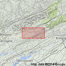
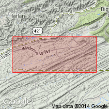
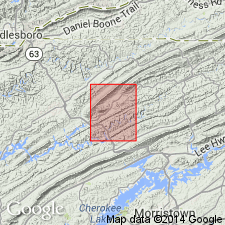
Designated the type locality of the Rob Camp limestone as exposures 1/2 mi north of Rob Camp Church in Rose Hill district; church is in northwest corner of Hancock Co., TN, 3 mi south of Lee Co., VA line. The Rob Camp probably correlates with the Five Oaks limestone of Cooper and Prouty (1943) in Tazewell Co., VA.
Source: GNU records (USGS DDS-6; Reston GNULEX).
- Usage in publication:
-
- Rob Camp Limestone*
- Modifications:
-
- Overview
- AAPG geologic province:
-
- Appalachian basin
Summary:
The Rob Camp Limestone consists of light olive gray, massively bedded calcilutite. Thickness is 15 to 130 feet. Unit overlies the Poteet Limestone and underlies the Martin Creek Limestone. The Rob Camp is of Middle Ordovician age.
Source: GNU records (USGS DDS-6; Reston GNULEX).
For more information, please contact Nancy Stamm, Geologic Names Committee Secretary.
Asterisk (*) indicates published by U.S. Geological Survey authors.
"No current usage" (†) implies that a name has been abandoned or has fallen into disuse. Former usage and, if known, replacement name given in parentheses ( ).
Slash (/) indicates name conflicts with nomenclatural guidelines (CSN, 1933; ACSN, 1961, 1970; NACSN, 1983, 2005, 2021). May be explained within brackets ([ ]).