- Usage in publication:
-
- Roaring River tongue
- Modifications:
-
- Named
- Dominant lithology:
-
- Conglomerate
- Sandstone
- Mudstone
- AAPG geologic province:
-
- Sacramento basin
Summary:
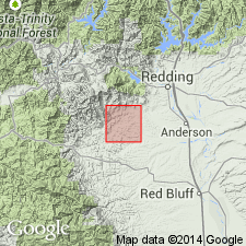
Named from Roaring River, tributary of Cottonwood Creek, Shasta Co, CA, on which section is best exposed. Is tongue in Ono formation (new). Consists of four beds of massive cobble conglomerate, interbeds of massive sandstone with minor amounts of mudstone in lower part and graywacke with increasing amounts of mudstone toward upper part of unit. Thickness is 850 ft on Roaring River. No fossils have been found in tongue. Is Early Cretaceous age [based on stratigraphic relations].
Source: GNU records (USGS DDS-6; Menlo GNULEX).

- Usage in publication:
-
- Roaring River Member
- Modifications:
-
- Revised
- AAPG geologic province:
-
- Sacramento basin
Summary:
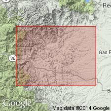
Roaring River Tongue of Ono Formation (Murphy, 1956) is renamed Roaring River Member and assigned as 3rd from lowermost member (of 7) of Budden Canyon Formation (new). Unit mapped from North Fork of Cottonwood Creek to southern boundary of Ono 15' quad. Thickness along reference section on Roaring River is about 850 ft. Underlies Chickabally Mudstone Member; overlies Ogo Member (both new and of Budden Canyon Formation).
Source: GNU records (USGS DDS-6; Menlo GNULEX).

- Usage in publication:
-
- Roaring River Member
- Modifications:
-
- Overview
- AAPG geologic province:
-
- Sacramento basin
Summary:
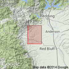
Type section on Roaring River (secs.29-30, 32 T30N R7W) Ono' 15 quad, Shasta Co, CA measures about 850 ft. Shown on geologic map of sections of Ono 15' quad. Described as lenticular and conglomerate units interbedded with mudstone; clasts chiefly porphyritic volcanic rocks and chert. Detailed lithologic description in text.
Source: GNU records (USGS DDS-6; Menlo GNULEX).
For more information, please contact Nancy Stamm, Geologic Names Committee Secretary.
Asterisk (*) indicates published by U.S. Geological Survey authors.
"No current usage" (†) implies that a name has been abandoned or has fallen into disuse. Former usage and, if known, replacement name given in parentheses ( ).
Slash (/) indicates name conflicts with nomenclatural guidelines (CSN, 1933; ACSN, 1961, 1970; NACSN, 1983, 2005, 2021). May be explained within brackets ([ ]).

