The National Geologic Map Database is migrating to a new infrastructure. We apologize for any service disruptions during this process.
|
|---|


- Usage in publication:
-
- Road River Formation
- Modifications:
-
- Named
- Biostratigraphic dating
- Dominant lithology:
-
- Shale
- Limestone
Summary:
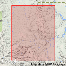
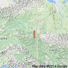
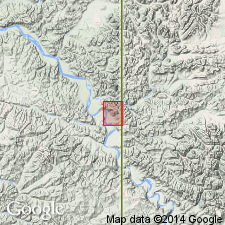
Measured type section designated on unnamed tributary of Road River (66 deg 44'N, 135 deg 46'-48'W), northern Yukon, Canada. Comprises thick sequence of alternating dark-colored graptolitic shales, argillaceous limestones, and subordinate amounts of chert, dolomite, siltstone, and sandstone. Maximum thickness is 8700 ft; is 2985 ft at type section. Conformably overlies Cambrian(?) shales and argillites; disconformably underlies Devonian Fort Creek Shale. Contains all stages and sub-series of Ordovician and Silurian of Britain. List of graptolite zones and species included in report. Unit is Tremadocian to Ludlovian in age (Ordovician to Silurian).
Source: GNU records (USGS DDS-6; Menlo GNULEX).
- Usage in publication:
-
- Road River Formation*
- Modifications:
-
- Adopted
- Areal extent
- Biostratigraphic dating
- AAPG geologic province:
-
- Alaska East-Central region
Summary:
Road River Formation, as recognized in Tatonduk-Nation Rivers area consists of 400 to 900 ft of predominantly dark gray graptolitic shale with lesser amounts of grayish black laminated chert. Disconformably overlies limestone sequence from which Middle and Late Ordovician trilobites have been collected. Disconformably underlies McCann Hill Chert (new). Age is Ordovician and Silurian based on graptolites (collections are described).
Source: GNU records (USGS DDS-6; Menlo GNULEX).
- Usage in publication:
-
- Road River Formation*
- Modifications:
-
- Age modified
- Biostratigraphic dating
- AAPG geologic province:
-
- Alaska East-Central region
Summary:
Age considered to range from Early Ordovician to Early Devonian based on graptolites and new discoveries by Boucek (1966) of early Emsian graptolites.
Source: GNU records (USGS DDS-6; Menlo GNULEX).
For more information, please contact Nancy Stamm, Geologic Names Committee Secretary.
Asterisk (*) indicates published by U.S. Geological Survey authors.
"No current usage" (†) implies that a name has been abandoned or has fallen into disuse. Former usage and, if known, replacement name given in parentheses ( ).
Slash (/) indicates name conflicts with nomenclatural guidelines (CSN, 1933; ACSN, 1961, 1970; NACSN, 1983, 2005, 2021). May be explained within brackets ([ ]).