- Usage in publication:
-
- Ritito conglomerate
- Modifications:
-
- Named
- Dominant lithology:
-
- Conglomerate
- AAPG geologic province:
-
- San Juan basin
Summary:
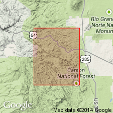
Named for exposures in Ritito Canyon, secs 11 and 14, T27N, R7E, Canon Plaza quad, Rio Arriba Co, NM in the San Juan basin. Is a conglomerate with gravel-size rounded to subangular pebbles and small boulders of fine-grained to pebbly quartzite, amphibolite, and metarhyolite derived from Precambrian rocks and resting on Precambrian rocks in the lower Vallecitos Valley. The matrix is quartzose and composed of poorly sorted, subangular to subround grains. Is usually weakly cemented. Is medium gray. Maximum known thickness is 400 ft in Ritito Creek and in Escondido Canyon. Pinches out in Canada del Oso. Is absent north from Jarosita Canyon and Quartzite Peak. Was probably deposited as an alluvial fan. Is probably correlative with the Conejos? formation. Is older than the period of widespread Tertiary volcanism. Assigned to the Miocene.
Source: GNU records (USGS DDS-6; Denver GNULEX).
For more information, please contact Nancy Stamm, Geologic Names Committee Secretary.
Asterisk (*) indicates published by U.S. Geological Survey authors.
"No current usage" (†) implies that a name has been abandoned or has fallen into disuse. Former usage and, if known, replacement name given in parentheses ( ).
Slash (/) indicates name conflicts with nomenclatural guidelines (CSN, 1933; ACSN, 1961, 1970; NACSN, 1983, 2005, 2021). May be explained within brackets ([ ]).

