The National Geologic Map Database is migrating to a new infrastructure. We apologize for any service disruptions during this process.
|
|---|


- Usage in publication:
-
- Rio Indio limestone member*
- Modifications:
-
- Named
- Dominant lithology:
-
- Limestone
- AAPG geologic province:
-
- Caribbean region
Summary:
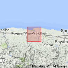
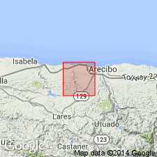
Rio Indio limestone member of the Cibao formation, here named. It is split into a lower tongue, 40 m thick, and an upper tongue, 20 m thick, by the Almirante Sur sand member of the Cibao. Consists of compact, chalky yellow fragmental limestone. Overlies the Lares limestone; underlies the Quebrada Arenas limestone member of the Cibao.
Source: GNU records (USGS DDS-6; Reston GNULEX).
- Usage in publication:
-
- Rio Indio Limestone Member*
- Modifications:
-
- Age modified
- AAPG geologic province:
-
- Caribbean region
Summary:
Age of the Cibao Formation is late Oligocene and early Miocene.
Source: GNU records (USGS DDS-6; Reston GNULEX).

- Usage in publication:
-
- Rio Indio Limestone Member*
- Modifications:
-
- Overview
- AAPG geologic province:
-
- Caribbean region
Summary:
The Rio Indio Limestone Member of the Cibao Formation occurs on the north coast of Puerto Rico and consists of limestone lenses of marly clay or beds of chalky limestone. Unit laterally grades into the Mucarabones Sand.
Source: GNU records (USGS DDS-6; Reston GNULEX).
For more information, please contact Nancy Stamm, Geologic Names Committee Secretary.
Asterisk (*) indicates published by U.S. Geological Survey authors.
"No current usage" (†) implies that a name has been abandoned or has fallen into disuse. Former usage and, if known, replacement name given in parentheses ( ).
Slash (/) indicates name conflicts with nomenclatural guidelines (CSN, 1933; ACSN, 1961, 1970; NACSN, 1983, 2005, 2021). May be explained within brackets ([ ]).