The National Geologic Map Database is migrating to a new infrastructure. We apologize for any service disruptions during this process.
|
|---|


- Usage in publication:
-
- Rio Bauta Member*
- Modifications:
-
- Named
- Dominant lithology:
-
- Mudstone
- Siltstone
- Sandstone
- Conglomerate
- Limestone
Summary:
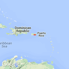
The Rio Bauta Member of the Pozas Formation, here named, consists of dark-gray and bluish-gray calcareous mudstone, siltstone, sandstone, conglomerate, and limestone that crop out in a restricted area of northern Orocovis quadrangle. Unconformably overlies volcanic rocks of the Rio Orocovis Group at the base of the Pozas; gradationally underlies the Blacho Tuff Member of the Pozas. Thickness is 100m. Age is late Santonian through Campanian.
Source: GNU records (USGS DDS-6; Reston GNULEX).
For more information, please contact Nancy Stamm, Geologic Names Committee Secretary.
Asterisk (*) indicates published by U.S. Geological Survey authors.
"No current usage" (†) implies that a name has been abandoned or has fallen into disuse. Former usage and, if known, replacement name given in parentheses ( ).
Slash (/) indicates name conflicts with nomenclatural guidelines (CSN, 1933; ACSN, 1961, 1970; NACSN, 1983, 2005, 2021). May be explained within brackets ([ ]).