- Usage in publication:
-
- Rio Abajo Formation*
- Modifications:
-
- Named
- Dominant lithology:
-
- Tuff
- Breccia
- Conglomerate
- Lava
- AAPG geologic province:
-
- Caribbean region
Summary:
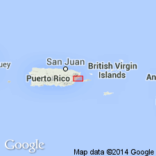
Named Rio Abajo Formation for Rio Abajo, Humacao quadrangle, PR. Consists of andesitic volcaniclastic tuff, breccia, conglomerate, and lava flows; medium-gray to brownish-gray, speckled. Unit is greater than 600 meters thick. Base and top of formation is not exposed; it is in fault contact with the Pitahaya Formation and informal Late Cretaceous Mambiche sequence; may unconformably underlie Pitahaya Formation to west of study area. Age is considered Early(?) Cretaceous.
Source: GNU records (USGS DDS-6; Reston GNULEX).

- Usage in publication:
-
- Rio Abajo Formation*
- Modifications:
-
- Overview
- AAPG geologic province:
-
- Caribbean region
Summary:
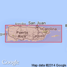
The Rio Abajo Formation occurs in central Puerto Rico and consists of crystal-lithic tuff and interbedded volcaniclastic sandstone and breccia with abundant clasts of embayed quartz and bipyramidal quartz crystals. Tuff facies is locally metamorphosed to phyllite or hornblende schist near contacts with the San Lorenzo batholith. Maximum estimated thickness is 600 meters. The Rio Abajo is of Early Cretaceous age.
Source: GNU records (USGS DDS-6; Reston GNULEX).
For more information, please contact Nancy Stamm, Geologic Names Committee Secretary.
Asterisk (*) indicates published by U.S. Geological Survey authors.
"No current usage" (†) implies that a name has been abandoned or has fallen into disuse. Former usage and, if known, replacement name given in parentheses ( ).
Slash (/) indicates name conflicts with nomenclatural guidelines (CSN, 1933; ACSN, 1961, 1970; NACSN, 1983, 2005, 2021). May be explained within brackets ([ ]).

