

- Usage in publication:
-
- Rim Rock sandstone
- Modifications:
-
- Named
- Dominant lithology:
-
- Sandstone
- AAPG geologic province:
-
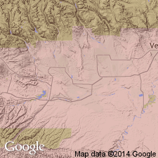
- Uinta basin
- Piceance basin
Summary:
Named as a middle formation of Mesaverde group for exposures along a hogback ridge called the Rim Rock in Duchesne Co, UT in the Uinta basin. Is a mappable unit from Vernal east to CO border. Not specifically mapped on geologic map. Crops out continuously from the ridge into Rio Blanco Co, CO in the Piceance basin. Type locality designated at Rim Rock, 9 mi east of the Green River. Overlies and intertongues with main body of Mancos shale. Underlies Williams Fork formation, upper formation of Mesaverde. Can also be overlain unconformably by Duchesne River formation. Three measured sections described. Composed of gray, medium- to fine-grained sandstone that can be cross-bedded, thinly bedded. Black chert grains scattered in unit give Rim Rock a speckled appearance. Gray to brown sandy shale tongues of Mancos included with formation. Ranges from 112 to 580 ft thick in measured sections. No fossils found. Considered post-Niobrara, Late Cretaceous in age. Deposited on beach or near shore.
Source: GNU records (USGS DDS-6; Denver GNULEX).
For more information, please contact Nancy Stamm, Geologic Names Committee Secretary.
Asterisk (*) indicates published by U.S. Geological Survey authors.
"No current usage" (†) implies that a name has been abandoned or has fallen into disuse. Former usage and, if known, replacement name given in parentheses ( ).
Slash (/) indicates name conflicts with nomenclatural guidelines (CSN, 1933; ACSN, 1961, 1970; NACSN, 1983, 2005, 2021). May be explained within brackets ([ ]).