The National Geologic Map Database is migrating to a new infrastructure. We apologize for any service disruptions during this process.
|
|---|


- Usage in publication:
-
- Riggins Group*
- Modifications:
-
- Named
- Dominant lithology:
-
- Schist
- Phyllite
- Amphibolite
- AAPG geologic province:
-
- Idaho Mountains province
Summary:
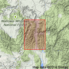
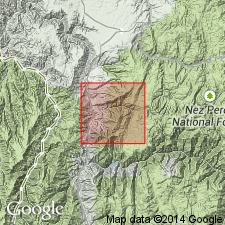
Name applied to a thick sequence of metamorphic rocks, dominantly schist that tectonically overlies Seven Devils Volcanics. Is of low metamorphic grade in northwest. Metamorphic increases through middle- and high-grade to east and southeast. Transition from schist to plutonic gneisses is exposed along Salmon And Little Salmon Rivers. Type section designated along Salmon River from Riggins northward to just beyond edge of Riggins quad, Idaho Co, ID, in the Idaho Mountains province. Divided into (lowest to highest): Fiddle Creek Schist, Lightning Creek Schist, metaperidotite (a unit 1,200 ft thick of metavolcanic and metasedimentary rocks), Berg Creek Amphibolite, and Squaw Creek Schist [See Note Below]. Thickness (present) of about 20,000-25,000 ft. Original thickness unknown. Distinction between formations of group becomes difficult as their structural complexity and metamorphic grade increase. Continues north beyond quad where it lies on Martin Bridge Limestone. Is cut out northward by a trondjhemite mass. Not present below Lucile on Salmon River. No fossils found. Is older than Idaho batholith. Assigned to Paleozoic or Mesozoic on geologic map.
[NOTE: In accordance with Department of Interior's Secretarial Order 3404, discontinuing use of derogatory term squaw, the Squaw Creek Schist is in process of being formally renamed either Yeva Agai Schist or Yeva Agai Naokwaide Schist (BOTH RESERVED). The geographic feature Squaw Creek, from which the geologic name was taken (this report), was renamed Yeva Agai Naokwaide by U.S. Board on Geographic Names, September 2022, USGS GNIS FeatureID 391296.]
Source: GNU records (USGS DDS-6; Denver GNULEX).
- Usage in publication:
-
- Riggins Group
- Modifications:
-
- Not used
Summary:
Some medium- and high-grade metamorphosed volcanic rocks mapped east of the Salmon River area are mapped as metamorphic units whose relative age and correlation are unknown; these rocks are tentatively correlated with the Seven Devils Group; they are shown as Permian and Triassic age; they are also mapped as present in two plates--the Rapid River and North Fork plates--of the Wallowa terrane. These metamorphosed rocks were previously assigned to formations of the Riggins Group. There is no evidence found during this study to indicate that rocks of the Riggins and the Wallowa are different island arcs. Also, all identifiable map characteristics useful for distinguishing the formations have been obliterated by multiple episodes of metamorphism and deformation. The mapped units cannot be correlated with or assigned to individual formations with confidence. Therefore, the name Riggins and its component formations are not recognized in this study.
Source: Modified from GNU records (USGS DDS-6; Denver GNULEX).
For more information, please contact Nancy Stamm, Geologic Names Committee Secretary.
Asterisk (*) indicates published by U.S. Geological Survey authors.
"No current usage" (†) implies that a name has been abandoned or has fallen into disuse. Former usage and, if known, replacement name given in parentheses ( ).
Slash (/) indicates name conflicts with nomenclatural guidelines (CSN, 1933; ACSN, 1961, 1970; NACSN, 1983, 2005, 2021). May be explained within brackets ([ ]).