The National Geologic Map Database is migrating to a new infrastructure. We apologize for any service disruptions during this process.
|
|---|


- Usage in publication:
-
- Rib Mountain quartzite
- Modifications:
-
- First used
- Dominant lithology:
-
- Quartzite
- AAPG geologic province:
-
- Lake Superior region
Summary:
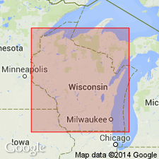
First published use on map showing quartzites that may be related to the McCaslin quartzite (first used) in WI. Mapped areal extent at Rib Mountain, central Marathon Co, WI (Lake Superior region). Type locality not designated. Derivation of name not stated but apparently named from Rib Mountain. Lithologic description not given. Age is not stated. Appears only on map (p. 1). Other quartzites shown on the map include: Barron, Baraboo, Flambeau, McCaslin, Palms, Rudolph, and Sturgeon quartzites. [Is probably the same as the "Rib Hill quartzite" of Weidman (1907).]
Source: GNU records (USGS DDS-6; Denver GNULEX).
For more information, please contact Nancy Stamm, Geologic Names Committee Secretary.
Asterisk (*) indicates published by U.S. Geological Survey authors.
"No current usage" (†) implies that a name has been abandoned or has fallen into disuse. Former usage and, if known, replacement name given in parentheses ( ).
Slash (/) indicates name conflicts with nomenclatural guidelines (CSN, 1933; ACSN, 1961, 1970; NACSN, 1983, 2005, 2021). May be explained within brackets ([ ]).