

- Usage in publication:
-
- Reynolds Limestone
- Modifications:
-
- Revised
- AAPG geologic province:
-
- Appalachian basin
Summary:
Informal division of Mauch Chunk Group into upper and lower parts is used in this report. Lower Mauch Chunk includes Lillydale Shale and laterally equivalent Webster Springs Sandstone, and overlying Reynolds Limestone. Reynolds is key Mississippian-age bed used in making stratigraphic correlations and interpretations in this study. Upper Mauch Chunk Group is undifferentiated.
Source: GNU records (USGS DDS-6; Reston GNULEX).
- Usage in publication:
-
- Reynolds Member
- Modifications:
-
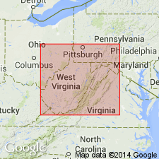
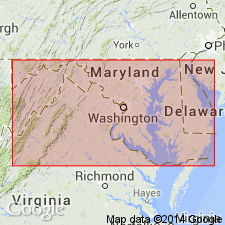
- Areal extent
- Overview
- Revised
- Dominant lithology:
-
- Limestone
- Shale
- AAPG geologic province:
-
- Appalachian basin
Summary:
Reynolds Member occurs approximately 20 ft above the base of the Mauch Chunk Formation in western MD. This is the same marine unit called the Reynolds Limestone Member of the Bluefield Formation (Mauch Chunk Group) of northern WV. Unit is known from eastern KY to PA by drillers who call it "Little Lime." Near Deep Creek Lake, unit is 3 ft thick and is composed of tan calcareous shale with abundant molds of fragmented bivalves. Elsewhere in MD consists 2.5 ft of soft fossiliferous clay, which when excavated proves to be a light-greenish gray argillaceous limestone. Reynolds is only fossil-bearing strata of Mauch Chunk in MD. Correlated here with Chesterian lower Menard of upper Mississippi Valley.
Source: GNU records (USGS DDS-6; Reston GNULEX).
For more information, please contact Nancy Stamm, Geologic Names Committee Secretary.
Asterisk (*) indicates published by U.S. Geological Survey authors.
"No current usage" (†) implies that a name has been abandoned or has fallen into disuse. Former usage and, if known, replacement name given in parentheses ( ).
Slash (/) indicates name conflicts with nomenclatural guidelines (CSN, 1933; ACSN, 1961, 1970; NACSN, 1983, 2005, 2021). May be explained within brackets ([ ]).