- Usage in publication:
-
- Rest Spring shale*
- Modifications:
-
- Original reference
- Dominant lithology:
-
- Shale
- Siltstone
- AAPG geologic province:
-
- Great Basin province
Summary:
Pg. 3, 14 (fig. 6), 25-26, pls. 1, 2, 3. Rest Spring shale. Characteristically an argillaceous shale grading into siltstone; basal shale contains discoidal concretions 2 to 6 inches in diameter; shale grades upward into siltstone, fine-grained sandstone and in some places thin isolated beds of light-gray quartzite; some sandstone is conglomeratic in thin inconspicuous beds. Thickness about 310 feet. Underlies Tihvipah limestone (new); overlies Mississippian Perdido formation (new). [Age is Mississippian and Pennsylvanian(?).]
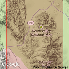
Type locality: extends from head of gulch 2,000 ft south of Rest Spring northward to within 200 ft of top of hill that is 2,000 ft northwest of Burro Spring, Inyo Co., eastern CA. Named from extensive exposures around Rest Spring.
Source: US geologic names lexicon (USGS Bull. 1200, p. 3249).

- Usage in publication:
-
- Rest Spring shale*
- Modifications:
-
- Mapped
- AAPG geologic province:
-
- Great Basin province
Summary:
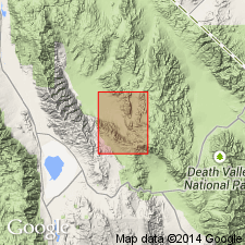
Rest Spring shale. In long exposure from western side of Ubehebe Peak stock to northern side of [Ubehebe Peak] quadrangle, outcrop width of nearly vertical, highly sheared Rest Spring shale ranges from 200 to 1,000 feet; on flank of open fold west of Lee Flat the thickness is about 300 feet. Overlies Perdido formation; underlies Bird Spring(?) formation. [Age is Mississippian and Pennsylvanian(?).]
Source: US geologic names lexicon (USGS Bull. 1200, p. 3249).

- Usage in publication:
-
- Rest Spring Shale*
- Modifications:
-
- Revised
- Biostratigraphic dating
- AAPG geologic province:
-
- Great Basin province
Summary:
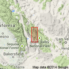
Pg. J5 (fig. 3), J7-J8 (fig. 4), J13, J30, J37+. Rest Spring Shale. Present in central-facies belt (an upward-deepening sequence of beds deposited mostly in slope and basinal environments), notably the Quartz Spring area, Inyo County, eastern California, where it overlies Mexican Spring Formation (new) of Perdido Group; the upper contact of McAllister's Perdido is lowered by about 3 m to exclude the dark-gray, very fine-grained, ammonoid-bearing, argillaceous limestone (transferred to the Rest Spring), thus top of Perdido now placed at top of highest siltstone, sandstone, or limestone turbidite bed below this bed which is regionally recognizable. Also present in northwestern-facies belt (base-of-slope and deep basinal environments), notably the Vaughn Gulch area, Inyo County, eastern California, where it conformably overlies Kearsarge Formation (new); contact placed at top of highest major limestone or sandstone bed. Age is Late Mississippian (latest Meramecian to Chesterian; Lower CAVUSGNATHUS zone to MURICATUS zone of Poole and Sandberg, 1991; Mamet foramineral zones 15-19).
Source: Publication.
For more information, please contact Nancy Stamm, Geologic Names Committee Secretary.
Asterisk (*) indicates published by U.S. Geological Survey authors.
"No current usage" (†) implies that a name has been abandoned or has fallen into disuse. Former usage and, if known, replacement name given in parentheses ( ).
Slash (/) indicates name conflicts with nomenclatural guidelines (CSN, 1933; ACSN, 1961, 1970; NACSN, 1983, 2005, 2021). May be explained within brackets ([ ]).

