- Usage in publication:
-
- Reservoir Gneiss*
- Modifications:
-
- Redescribed
- Revised
- AAPG geologic province:
-
- New England province
Summary:
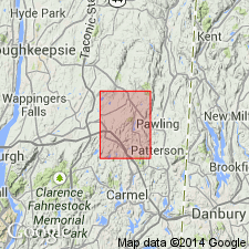
The Reservoir Granite of Berkey and Rice (1921), mapped here as granitic gneiss, may not be all intrusive. Considerable portions may be biotitic migmatitic gneiss that only appears to be comagmatic with the true intrusive part of the unit. As the term "granite" may be misleading, it is redefined and changed to Reservoir Gneiss. Age is Middle Proterozoic.
Source: GNU records (USGS DDS-6; Reston GNULEX).
For more information, please contact Nancy Stamm, Geologic Names Committee Secretary.
Asterisk (*) indicates published by U.S. Geological Survey authors.
"No current usage" (†) implies that a name has been abandoned or has fallen into disuse. Former usage and, if known, replacement name given in parentheses ( ).
Slash (/) indicates name conflicts with nomenclatural guidelines (CSN, 1933; ACSN, 1961, 1970; NACSN, 1983, 2005, 2021). May be explained within brackets ([ ]).

