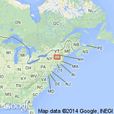
- Usage in publication:
-
- Rensselaer Graywacke Member*
- Modifications:
-
- Areal extent
- Age modified
- AAPG geologic province:
-
- New England province
Summary:
Used as Rensselaer Graywacke Member of the Nassau Formation of Late Proterozoic and Early Cambrian age. Consists of greenish-gray, plagioclase-rich, blue quartz pebble metagraywacke and minor gneiss-cobble conglomerate. [No explanation given for apparent local rank reduction to member status, change in age, and basis for extension into MA.]
Source: GNU records (USGS DDS-6; Reston GNULEX).

- Usage in publication:
-
- Rensselaer Graywacke Member*
- Modifications:
-
- Areal extent
- AAPG geologic province:
-
- New England province
Summary:
Late Proterozoic Nassau Formation is basal part of Taconic allochthon sequence in Glens Falls quad. Includes Bomoseen Graywacke Member and Zion Hill Quartzite Member (exposed on Bird Mountain, VT), and Rensselaer Graywacke Member (exposed just south of quad boundary). Overlain by Cambrian Browns Pond Formation.
Source: GNU records (USGS DDS-6; Reston GNULEX).
For more information, please contact Nancy Stamm, Geologic Names Committee Secretary.
Asterisk (*) indicates published by U.S. Geological Survey authors.
"No current usage" (†) implies that a name has been abandoned or has fallen into disuse. Former usage and, if known, replacement name given in parentheses ( ).
Slash (/) indicates name conflicts with nomenclatural guidelines (CSN, 1933; ACSN, 1961, 1970; NACSN, 1983, 2005, 2021). May be explained within brackets ([ ]).

