The National Geologic Map Database is migrating to a new infrastructure. We apologize for any service disruptions during this process.
|
|---|


- Usage in publication:
-
- Rendu formation*
- Modifications:
-
- Named
- Dominant lithology:
-
- Limestone
- Argillite
- AAPG geologic province:
-
- Alaska Southeastern region
Summary:
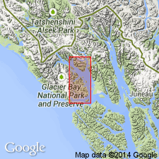
Typical section: southwest flank of the 2,978 ft mountain east of Rendu Inlet, southeast Alaska. Formation also recognized east of the Black Cap Mountain area and northeast of Mount Merriam. Mainly thin-bedded limestone and argillite, some of the argillaceous strata are limey, and limestone strata contain argillaceous material. Overlies Pyramid Peak Limestone with gradational contact; underlies with apparent unconformity Black Cap Limestone. Thickness varies up to 2500 ft thick. No fossils. Overlying Black Cap Limestone is Middle Devonian. Underlying Pyramid Peak Limestone considered Upper Silurian. Age considered Upper Silurian. [text (p. k21) says age is not known closer than interval between Late Silurian and Middle Devonian.]
Source: GNU records (USGS DDS-6; Menlo GNULEX).
For more information, please contact Nancy Stamm, Geologic Names Committee Secretary.
Asterisk (*) indicates published by U.S. Geological Survey authors.
"No current usage" (†) implies that a name has been abandoned or has fallen into disuse. Former usage and, if known, replacement name given in parentheses ( ).
Slash (/) indicates name conflicts with nomenclatural guidelines (CSN, 1933; ACSN, 1961, 1970; NACSN, 1983, 2005, 2021). May be explained within brackets ([ ]).