- Usage in publication:
-
- Relay quartz diorite
- Modifications:
-
- Named
- Dominant lithology:
-
- Diorite
- AAPG geologic province:
-
- Piedmont-Blue Ridge province
Summary:
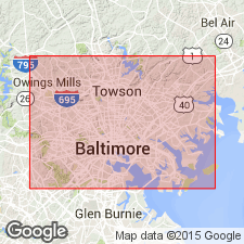
Named the Relay quartz diorite for Relay, Baltimore Co., northeastern MD. Unit is pink quartz diorite composed of oligoclase, quartz, and muscovite. Intrudes Glenarm series. The Relay is of late Precambrian age.
Source: GNU records (USGS DDS-6; Reston GNULEX).

- Usage in publication:
-
- Relay Gneiss Member
- Modifications:
-
- Revised
- AAPG geologic province:
-
- Piedmont-Blue Ridge province
Summary:
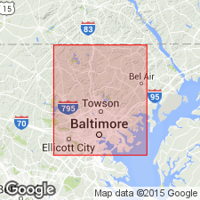
Relay Quartz Diorite of Knopf and Jonas (1925) is here reduced in rank and assigned to the James Run Formation along with the Carroll Gneiss Member (new) and the Druid Hill Member (new). It was first suggested by Higgins (1972) that the unit is actually part of the James Run. The Relay as mapped by Knopf and Jonas and by Cohen (1937), crops out as two discrete masses: a narrow belt extending 11 km northward from the Patapsco River at Relay to Druid Hill Park, and a bulbous mass, 1 square km in size, just north of the park. However, this bulbous mass can be traced around the Jones Falls Schist and into the Carroll Gneiss Member, and is therefore not considered part of the Relay Gneiss Member of this report. The unit as described here is fine- to medium-grained biotite-quartz-plagioclase gneiss, locally containing muscovite and magnetite. At Relay the gneiss is quite mica poor, distinctly pinkish, and cut by many, randomly oriented joints. Thickness varies from 0 to 250 m. Age of the James Run and its members is shown as Cambrian(?).
Source: GNU records (USGS DDS-6; Reston GNULEX).

- Usage in publication:
-
- Relay Felsite*
- Modifications:
-
- Revised
- AAPG geologic province:
-
- Piedmont-Blue Ridge province
Summary:
The Relay is revised to the Relay Felsite and removed as a member of the James Run Formation in MD. Unit appears on map explanation of generalized geologic map of the MD Piedmont (figure 1) as part of the island arc rocks of the Bel Air-Rising Sun and Chopawamsic terranes.
Source: GNU records (USGS DDS-6; Reston GNULEX).
For more information, please contact Nancy Stamm, Geologic Names Committee Secretary.
Asterisk (*) indicates published by U.S. Geological Survey authors.
"No current usage" (†) implies that a name has been abandoned or has fallen into disuse. Former usage and, if known, replacement name given in parentheses ( ).
Slash (/) indicates name conflicts with nomenclatural guidelines (CSN, 1933; ACSN, 1961, 1970; NACSN, 1983, 2005, 2021). May be explained within brackets ([ ]).

