The National Geologic Map Database is migrating to a new infrastructure. We apologize for any service disruptions during this process.
|
|---|


- Usage in publication:
-
- Redmond formation
- Modifications:
-
- Named
- Geochronologic dating
- Dominant lithology:
-
- Volcanics
- AAPG geologic province:
-
- Basin-and-Range province
Summary:
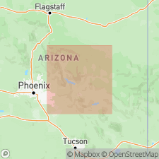
Sequence of older Precambrian volcanic and sedimentary rocks more than 15,000 ft thick occurs in Blackjack Mountains and White Ledges, 20 mi north of Globe, AZ. This sequence consists of (older to younger): Redmond formation (acidic volcanic rocks) and Hess Canyon group (clastic sedimentary rocks). Whole rock Rb-Sr age of 1510 +/-40 Ma was obtained from Redmond formation.
Source: GNU records (USGS DDS-6; Menlo GNULEX).
- Usage in publication:
-
- Redmond Formation
- Modifications:
-
- Age modified
- AAPG geologic province:
-
- Basin-and-Range province
Summary:
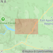
Geological column of Salt River Canyon shows Redmond Formation as Middle Proterozoic age. Described as reddish-brown to green acidic volcanic porphyries with phenocrysts of feldspar, quartz, and biotite. Contains many subunits, for example, rhyodacitic ignimbrite with eutaxitic structures and flow foliation which are mappable, quartzose rocks of sedimentary(?) origin, schistose unit, and porphyritic aplite. Has been metamorphosed. Is moderate slope former and not resistant to weathering. Shown on geologic sketch maps of Gleason Flat, Corral Canyon, Horseshoe Bend, and Redmond Flat areas. Part of Redmond Formation exposed in Salt River Canyon represents two ash-flow sheets separated by volcanic flows and volcaniclastic sedimentary deposits. Full thickness estimated by Cuffney (1977, MS thesis) is 7000 feet.
Source: GNU records (USGS DDS-6; Menlo GNULEX).
For more information, please contact Nancy Stamm, Geologic Names Committee Secretary.
Asterisk (*) indicates published by U.S. Geological Survey authors.
"No current usage" (†) implies that a name has been abandoned or has fallen into disuse. Former usage and, if known, replacement name given in parentheses ( ).
Slash (/) indicates name conflicts with nomenclatural guidelines (CSN, 1933; ACSN, 1961, 1970; NACSN, 1983, 2005, 2021). May be explained within brackets ([ ]).