- Usage in publication:
-
- Reausaw Slate*
- Modifications:
-
- Named
- Dominant lithology:
-
- Slate
- Schist
- AAPG geologic province:
-
- Midcontinent region
Summary:
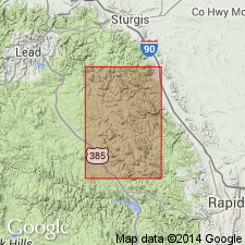
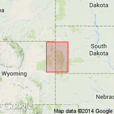
Named as the upper formation of the Windy Flats Group (new) for Reausaw Lake, Lawrence Co, SD in the Midcontinent region. Mapped as a strip on the west side of the map into adjoining Pennington and Meade Cos. Type locality designated in secs 34 and 35, T4N, R4E. Is younger than the newly named Hay Creek Greenstone of the Windy Flats Group (new) of middle Precambrian age. Unconformably? underlies Roubaix Formation (reduced in rank) of middle Precambrian age. Consists of fissile gray garnet schist, black graphitic slate, and magnetitic cherty ferruginous schist which contains grunerite or cummingtonite in northernmost areas. Of middle Precambrian age.
Source: GNU records (USGS DDS-6; Denver GNULEX).

- Usage in publication:
-
- Reausaw Slate*
- Modifications:
-
- Age modified
- AAPG geologic province:
-
- Midcontinent region
Summary:
Mapped with Early Proterozoic unit Xsc (Pl. 1) west of Nemo, Lawrence Co, SD in the Midcontinent region. Geologic map.
Source: GNU records (USGS DDS-6; Denver GNULEX).
For more information, please contact Nancy Stamm, Geologic Names Committee Secretary.
Asterisk (*) indicates published by U.S. Geological Survey authors.
"No current usage" (†) implies that a name has been abandoned or has fallen into disuse. Former usage and, if known, replacement name given in parentheses ( ).
Slash (/) indicates name conflicts with nomenclatural guidelines (CSN, 1933; ACSN, 1961, 1970; NACSN, 1983, 2005, 2021). May be explained within brackets ([ ]).

