- Usage in publication:
-
- Reamsville ash bed
- Modifications:
-
- Original reference
- AAPG geologic province:
-
- Salina basin
Summary:
Pg. 244 (fig. 1), 254-255. Reamsville ash bed of Ash Hollow member of Ogallala formation. Highest named [volcanic] ash bed in Ogallala formation of central Great Plains. Thickness at type locality 3 feet; occurs in sequence or partly cemented sand and silty sand. Lies slightly above middle of Ash Hollow member and stratigraphically above Reager ash bed. Age is Pliocene.
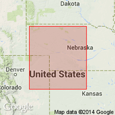
Named from exposures along KS Highway 8, west-southwest of Reamsville, in center of west line of SW/4 sec. 32, T. 1 S., R. 14 W., Smith Co., northwestern KS.
Source: US geologic names lexicon (USGS Bull. 1200, p. 3212).
For more information, please contact Nancy Stamm, Geologic Names Committee Secretary.
Asterisk (*) indicates published by U.S. Geological Survey authors.
"No current usage" (†) implies that a name has been abandoned or has fallen into disuse. Former usage and, if known, replacement name given in parentheses ( ).
Slash (/) indicates name conflicts with nomenclatural guidelines (CSN, 1933; ACSN, 1961, 1970; NACSN, 1983, 2005, 2021). May be explained within brackets ([ ]).

