- Usage in publication:
-
- Ready Bullion Formation*
- Modifications:
-
- Named
- Geochronologic dating
- Dominant lithology:
-
- Loess
- Silt
- AAPG geologic province:
-
- Alaska East-Central region
Summary:
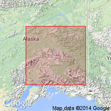
Named for exposures at type section in east wall of mining cut on Ready Bullion Creek, SW 1/4 sec.6, T1S R2W, 17 km west of Fairbanks, Fairbanks D-3 quad, AK. Consists of perennially frozen retransported loess, with carbonized plant fragments, peat lenses, sticks and abundant logs and stumps. Silt is gray to black when frozen and tan when thawed. Previously referred to informally as "Engineer Muck" (Pewe, 1952; Rubin and Alexander, 1958). Is 2 m thick. Unconformably overlies Goldstream Formation, and grades laterally into and is equivalent of Engineer Loess (both new). Underlies modern soil. Radiocarbon ages range from 10,450+/-475 to less than 200 yr B.P. Assigned Holocene age.
Source: GNU records (USGS DDS-6; Menlo GNULEX).
For more information, please contact Nancy Stamm, Geologic Names Committee Secretary.
Asterisk (*) indicates published by U.S. Geological Survey authors.
"No current usage" (†) implies that a name has been abandoned or has fallen into disuse. Former usage and, if known, replacement name given in parentheses ( ).
Slash (/) indicates name conflicts with nomenclatural guidelines (CSN, 1933; ACSN, 1961, 1970; NACSN, 1983, 2005, 2021). May be explained within brackets ([ ]).

