

- Usage in publication:
-
- Rattlesnake Spring Granodiorite*
- Modifications:
-
- Named
- Geochronologic dating
- Dominant lithology:
-
- Granodiorite
- AAPG geologic province:
-
- Great Basin province
Summary:
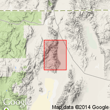
Named for Rattlesnake Spring. Type locality designated as Rattlesnake Spring, Pine Forest Range, sec.26 T45N R30E, Denio 15' quad, Humboldt Co, NV. Occurs in northeast part of Duffer Peak 15' quad and southeast part of Denio 15' quad. Most outcrops are coarse-grained hypidiomorphic granodiorite, strongly foliated along southern boundary. Intrudes Triassic(?) quartzite and amphibolite. Unconformably underlies Tertiary volcanic units in Denio 15' quad. K-Ar age is 100 Ma (E.H. McKee). Age given as Late Cretaceous.
Source: GNU records (USGS DDS-6; Menlo GNULEX).
For more information, please contact Nancy Stamm, Geologic Names Committee Secretary.
Asterisk (*) indicates published by U.S. Geological Survey authors.
"No current usage" (†) implies that a name has been abandoned or has fallen into disuse. Former usage and, if known, replacement name given in parentheses ( ).
Slash (/) indicates name conflicts with nomenclatural guidelines (CSN, 1933; ACSN, 1961, 1970; NACSN, 1983, 2005, 2021). May be explained within brackets ([ ]).