


- Usage in publication:
-
- Randolph limestone
- Modifications:
-
- Original reference
- Dominant lithology:
-
- Limestone
- AAPG geologic province:
-
- Pedregosa basin
Summary:
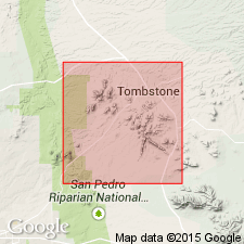
(Tombstone and its mines). Randolph limestone (Paleozoic, probably Carboniferous). Overlies ancient sedimentary strata of limestone.
Source: US geologic names lexicon (USGS Bull. 896, p. 1770).
- Usage in publication:
-
- Randolph limestone
- Modifications:
-
- Revised
- AAPG geologic province:
-
- Pedregosa basin
Summary:
Pg. 3-37. Randolph limestone, 300 feet thick, underlies Ajax quartzite in Tombstone mining district, Arizona. [Is oldest formation mentioned.]
Source: US geologic names lexicon (USGS Bull. 896, p. 1770).
For more information, please contact Nancy Stamm, Geologic Names Committee Secretary.
Asterisk (*) indicates published by U.S. Geological Survey authors.
"No current usage" (†) implies that a name has been abandoned or has fallen into disuse. Former usage and, if known, replacement name given in parentheses ( ).
Slash (/) indicates name conflicts with nomenclatural guidelines (CSN, 1933; ACSN, 1961, 1970; NACSN, 1983, 2005, 2021). May be explained within brackets ([ ]).