

- Usage in publication:
-
- Rampart series*
- Modifications:
-
- Named
- Dominant lithology:
-
- Diabase
- Novaculite
- Limestone
- Shale
- Tuff
- AAPG geologic province:
-
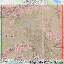
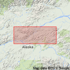
- Alaska East-Central region
Summary:
Named for exposures in Lower Ramparts of the Yukon River, Yukon-Tanana region, east-central AK. Characterized by green color (which changes to dark red on exposure), by a peculiar massive structure and firm texture, and by presence of volcanic material. Consists of diabase flows, tuffaceous sedimentary deposits, impure limestone (often glauconitic), hard green shales and slates, and some sandstones. Fine-grained siliceous rocks appear to be novaculites. Green color is due partly to presence of serpentine, chlorite and other green minerals. Thickness is great. Overlies Fortymile series (new); underlies Tahkandit series (new) containing fossils of probable Devonian(?) and late Carboniferous age. Unit thought to be Silurian age on basis of pebbles of Niagara limestones found by Dr. W.H. Dall (1867) just above the Ramparts.
Source: GNU records (USGS DDS-6; Menlo GNULEX).
- Usage in publication:
-
- Rampart group*
- Modifications:
-
- Areal extent
- Age modified
- Biostratigraphic dating
Summary:
Between Eagle and Circle, Rampart "series" of Spurr (1898) is restricted from Woodchopper volcanics (new) (Middle Devonian age), Circle volcanics (new) (Early Mississippian age), and probable younger Mississippian rocks. [Name Rampart group is retained for rocks corresponding to those at its type locality.] Group contains Mississippian fossils; however uncertainty exists as to its true stratigraphic position.
Source: GNU records (USGS DDS-6; Menlo GNULEX).
- Usage in publication:
-
- Rampart Group*
- Modifications:
-
- Age modified
- Biostratigraphic dating
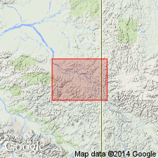
- AAPG geologic province:
-
- Alaska East-Central region
Summary:
Age is Mississippian to Triassic(?) based on chert beds from throughout unit that contain radiolarians that range in age from Late Mississippian to Permian; float blocks from an unidentified source containing Late Triassic radiolarians suggest the presence of upper Triassic strata in unit. Chert sample localities shown on geologic sketch map of Rampart district.
Source: GNU records (USGS DDS-6; Menlo GNULEX).
For more information, please contact Nancy Stamm, Geologic Names Committee Secretary.
Asterisk (*) indicates published by U.S. Geological Survey authors.
"No current usage" (†) implies that a name has been abandoned or has fallen into disuse. Former usage and, if known, replacement name given in parentheses ( ).
Slash (/) indicates name conflicts with nomenclatural guidelines (CSN, 1933; ACSN, 1961, 1970; NACSN, 1983, 2005, 2021). May be explained within brackets ([ ]).