- Usage in publication:
-
- Rama Formation
- Modifications:
-
- Original reference
- Dominant lithology:
-
- Diabase
- Basalt
- AAPG geologic province:
-
- Plateau sedimentary province
- Southern Rocky Mountain region
Summary:
[First edition, 1961, Geologic history of the Bright Angel quadrangle, Grand Canyon National Park, Arizona (printed on reverse side of geologic map).] Rama Formation of Unkar Group. Largely diabases and basalts which were intruded into older rocks in Bright Angel quadrangle as plugs, dikes, and sills following deposition of Dox Formation. A sill, 200 feet thick, occurs in Hakatai Shale of Bright Angel Canyon, and one of about same thickness occurs in the Hakatai at Hindu Amphitheater. A sill, 70 feet thick, occurs in upper part of the Shinumo Sandstone of Bright Angel Canyon. Basaltic fissure flows are 800 to 1,000 feet thick. Nankoweap Formation of Unkar Group; missing in Bright Angel quadrangle. Occurs in inner gorge of Grand Canyon, northwestern Arizona. Age is Precambrian (Algonkian).
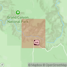
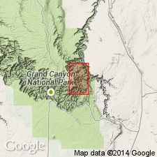
[Notable exposures in Granite Gorge of Colorado River and Bright Angel Canyon, Bright Angel 15-min quadrangle, eastern Grand Canyon, Grand Canyon National Park, Coconino Co., northern AZ. See also J.H. Maxson, 1967, Preliminary geologic map of the Grand Canyon and vicinity, Arizona; Eastern section: Grand Canyon Nat. Hist. Assoc., scale 1:62,500.]
[Origin of name not stated. Probably named from Rama Shrine, Cape Royal 7.5-min quadrangle, eastern Grand Canyon, Grand Canyon National Park, Coconino Co., northern AZ.]
[Additional locality information from USGS GNIS database and USGS historical topographic map collection TopoView, accessed on October 9, 2024.]
Source: US geologic names lexicon (USGS Bull. 1350, p. 613).

- Usage in publication:
-
- Rama Formation
- Modifications:
-
- Not used
Summary:
Pg. 1244. Rama Formation. A name applied to the basaltic lava flows that lie between the Unkar and Nankoweap Groups. Named Cardenas Lavas by Keyes, 1938 (Pan-American Geologist, v. 70, p. 110) but subsequently Maxson (1961, 1967) called them Rama Formation. It has been recommended that the name Rama be dropped and the name Cardenas restored to use (Ford and others, 1972, GSA Bull., v. 83, no. 1, p. 223-226).
Source: Publication.
For more information, please contact Nancy Stamm, Geologic Names Committee Secretary.
Asterisk (*) indicates published by U.S. Geological Survey authors.
"No current usage" (†) implies that a name has been abandoned or has fallen into disuse. Former usage and, if known, replacement name given in parentheses ( ).
Slash (/) indicates name conflicts with nomenclatural guidelines (CSN, 1933; ACSN, 1961, 1970; NACSN, 1983, 2005, 2021). May be explained within brackets ([ ]).

