The National Geologic Map Database is migrating to a new infrastructure. We apologize for any service disruptions during this process.
|
|---|


- Usage in publication:
-
- Rainvalley Formation*
- Modifications:
-
- Named
- Dominant lithology:
-
- Limestone
- AAPG geologic province:
-
- Pedregosa basin
- Basin-and-Range province
Summary:
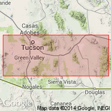
Named as the upper formation of the Naco group; derivation not given. Type section [measured] [north of Rain Valley] in Mustang Mountains in NE1/4 sec 15, T20S, R18E, northeastern Santa Cruz Co, AZ. Consists of thin-bedded, varicolored, partly dolomitic limestone. Overlies Concha Limestone. Overlain unconformably at type locality by Cretaceous? conglomerate. Is 390 ft thick in type section. Identified west of Mustang Mountains in Empire [Santa Rita, Sierrita], Tucson, and Waterman Mountains, in the Basin-and-Range province; and at Dunn Springs Mountain, Cochise Co, AZ in Pedregosa basin, where it is 200 ft thick. Fossil Lophophyllid corals, Rhynchonellid brachiopods, Patelloid gastropods, and Nautiloid cephalopods listed; but knowledge of fauna insufficient for precise dating. On basis of stratigraphic position dating is assumed to be Guadalupe? (Permian) in age. Cross sections; measured sections; geologic map.
Source: GNU records (USGS DDS-6; Denver GNULEX).
- Usage in publication:
-
- Rainvalley Formation*
- Modifications:
-
- Areal extent
- AAPG geologic province:
-
- Pedregosa basin
- Basin-and-Range province
Summary:
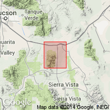
Accepted in Whetstone Mountains, AZ in the Pedregosa basin and Basin-and-Range province. Is the first published Survey report to assign Rainvalley to Naco Group as its highest formation. Is of Early and Late Permian age.
Source: GNU records (USGS DDS-6; Denver GNULEX).
- Usage in publication:
-
- Rainvalley Formation*
- Modifications:
-
- Areal extent
- AAPG geologic province:
-
- Basin-and-Range province
Summary:
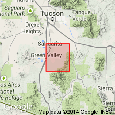
Extended to Santa Rita Mountains, Pima Co, AZ in Basin-and-Range province. Is of Early Permian age.
Source: GNU records (USGS DDS-6; Denver GNULEX).
- Usage in publication:
-
- Rainvalley Formation*
- Modifications:
-
- Age modified
- AAPG geologic province:
-
- Pedregosa basin
- Basin-and-Range province
Summary:
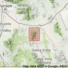
Age changed from Early Permian (Leonard and Guadalupe?) to Late Permian in Whetstone Mountains, Cochise Co, AZ in the Pedregosa basin and Pima Co in Basin-and-Range province. No evidence given.
Source: GNU records (USGS DDS-6; Denver GNULEX).
- Usage in publication:
-
- Rainvalley Formation*
- Modifications:
-
- Areal extent
- Mapped 1:24k
- Dominant lithology:
-
- Limestone
- Dolomite
- AAPG geologic province:
-
- Pedregosa basin
Summary:
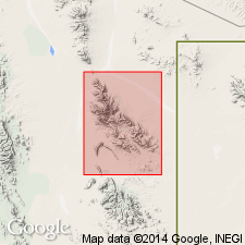
Rainvalley Formation. Provisionally extended into Big Hatchet Mountains, Hidalgo County, southwestern New Mexico. Previously mapped as Concha Limestone by Zeller (1960). Limestone and dolomite. Medium-gray, moderately coarse-grained, dolomitic limestone and dolomite; pale-yellowish-brown, cherty, fine-grained limestone. Thickness about 440 feet (130 m). Conformably overlies Concha Limestone (Lower Permian); shown on cross section underlying Glance Conglomerate of Bisbee Group (Lower Cretaceous). Provisionally correlated with Rainvalley Formation of southeast Arizona; may be carbonate-rich facies of Santa Rita Formation of Tovar (1969) and Campbell (1984) of northwestern Chihuahua. Fossiliferous (brachiopods, horn corals). Age is Early Permian.
Source: Publication.
For more information, please contact Nancy Stamm, Geologic Names Committee Secretary.
Asterisk (*) indicates published by U.S. Geological Survey authors.
"No current usage" (†) implies that a name has been abandoned or has fallen into disuse. Former usage and, if known, replacement name given in parentheses ( ).
Slash (/) indicates name conflicts with nomenclatural guidelines (CSN, 1933; ACSN, 1961, 1970; NACSN, 1983, 2005, 2021). May be explained within brackets ([ ]).