- Usage in publication:
-
- Rainbow Lake Schist
- Modifications:
-
- Named
- Dominant lithology:
-
- Schist
- Metasedimentary
- Metavolcanics
- AAPG geologic province:
-
- Northern Cascade Range-Okanogan province
Summary:
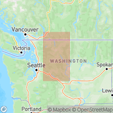
Named credited to J.B. Adams (1961 Ph.D. thesis). On basis of Adams' map and Peter Misch (oral commun. and unpub map), this unit is here extended northwestward and Adams' name, Rainbow Lake, is applied to entire belt. Consists of narrow (typically less than 100 m) discontinuous belt of metasedimentary and metavolcanic rocks extending 35 km within Gabriel Peak tectonic belt. Dominant rock type is quartz-rich biotite schist. Grades into metachert. Contains rare calc-silicate rock and marble. Amphibolites are widespread. Probably correlative with Twisp Valley Schist (Miller and others, 1993). Unit records polyphase folding and multiple generations of foliation and lineation. Age is Mesozoic.
Source: GNU records (USGS DDS-6; Menlo GNULEX).
For more information, please contact Nancy Stamm, Geologic Names Committee Secretary.
Asterisk (*) indicates published by U.S. Geological Survey authors.
"No current usage" (†) implies that a name has been abandoned or has fallen into disuse. Former usage and, if known, replacement name given in parentheses ( ).
Slash (/) indicates name conflicts with nomenclatural guidelines (CSN, 1933; ACSN, 1961, 1970; NACSN, 1983, 2005, 2021). May be explained within brackets ([ ]).

