The National Geologic Map Database is migrating to a new infrastructure. We apologize for any service disruptions during this process.
|
|---|


- Usage in publication:
-
- Rail Canyon sandstone member*
- Modifications:
-
- Named
- Dominant lithology:
-
- Sandstone
- AAPG geologic province:
-
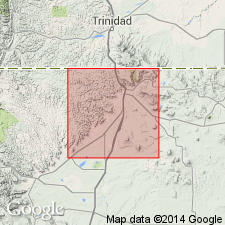
- Las Vegas-Raton basin
Summary:
Named as a member of Vermejo formation of Montana group for Rail Canyon, T29N, R21E, Colfax Co, NM in the Las Vegas-Raton basin. No type locality designated. Occurs near the middle of the Vermejo above and beneath unnamed sandstone and shale. Lower contact is an unconformity. Lies 10-50+ ft above base of Vermejo in measured sections. Consists of white, massive, cross-bedded sandstone ranging from a few ft to 50 ft thick. Several measured sections show it as 8 to 35 ft thick. Has numerous inclusions of clay balls. Some beds are friable. Forms the roof of many mines. Of Late Cretaceous age. Cross sections.
Source: GNU records (USGS DDS-6; Denver GNULEX).
For more information, please contact Nancy Stamm, Geologic Names Committee Secretary.
Asterisk (*) indicates published by U.S. Geological Survey authors.
"No current usage" (†) implies that a name has been abandoned or has fallen into disuse. Former usage and, if known, replacement name given in parentheses ( ).
Slash (/) indicates name conflicts with nomenclatural guidelines (CSN, 1933; ACSN, 1961, 1970; NACSN, 1983, 2005, 2021). May be explained within brackets ([ ]).