- Usage in publication:
-
- Ragged Hills Member
- Modifications:
-
- First used
- AAPG geologic province:
-
- Michigan basin
Summary:
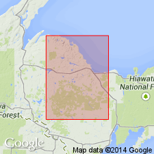
Ragged Hills Member (informal) of Kona Dolomite of Chocolay Group of Marquette Range Supergroup. Authors use nomenclature of G.L. Taylor (1972, Michigan Tech Univ., Ph.D. dissertation). Kona Dolomite comprises (ascending) gray argillite, lower quartzite, cherty dolomite, gray-green argillite, middle quartzite, /Big Cusp algal dolomite member, Valley member, color-banded dolomite, upper quartzite, Ragged Hills member, and upper dolomite. Ragged Hills member not described.
Source: GNU records (USGS DDS-6; Reston GNULEX).
For more information, please contact Nancy Stamm, Geologic Names Committee Secretary.
Asterisk (*) indicates published by U.S. Geological Survey authors.
"No current usage" (†) implies that a name has been abandoned or has fallen into disuse. Former usage and, if known, replacement name given in parentheses ( ).
Slash (/) indicates name conflicts with nomenclatural guidelines (CSN, 1933; ACSN, 1961, 1970; NACSN, 1983, 2005, 2021). May be explained within brackets ([ ]).

